2013-2014 EXHIBITIONS
Part of 'PhD Research Projects' Exhibition 2014, UCL, London
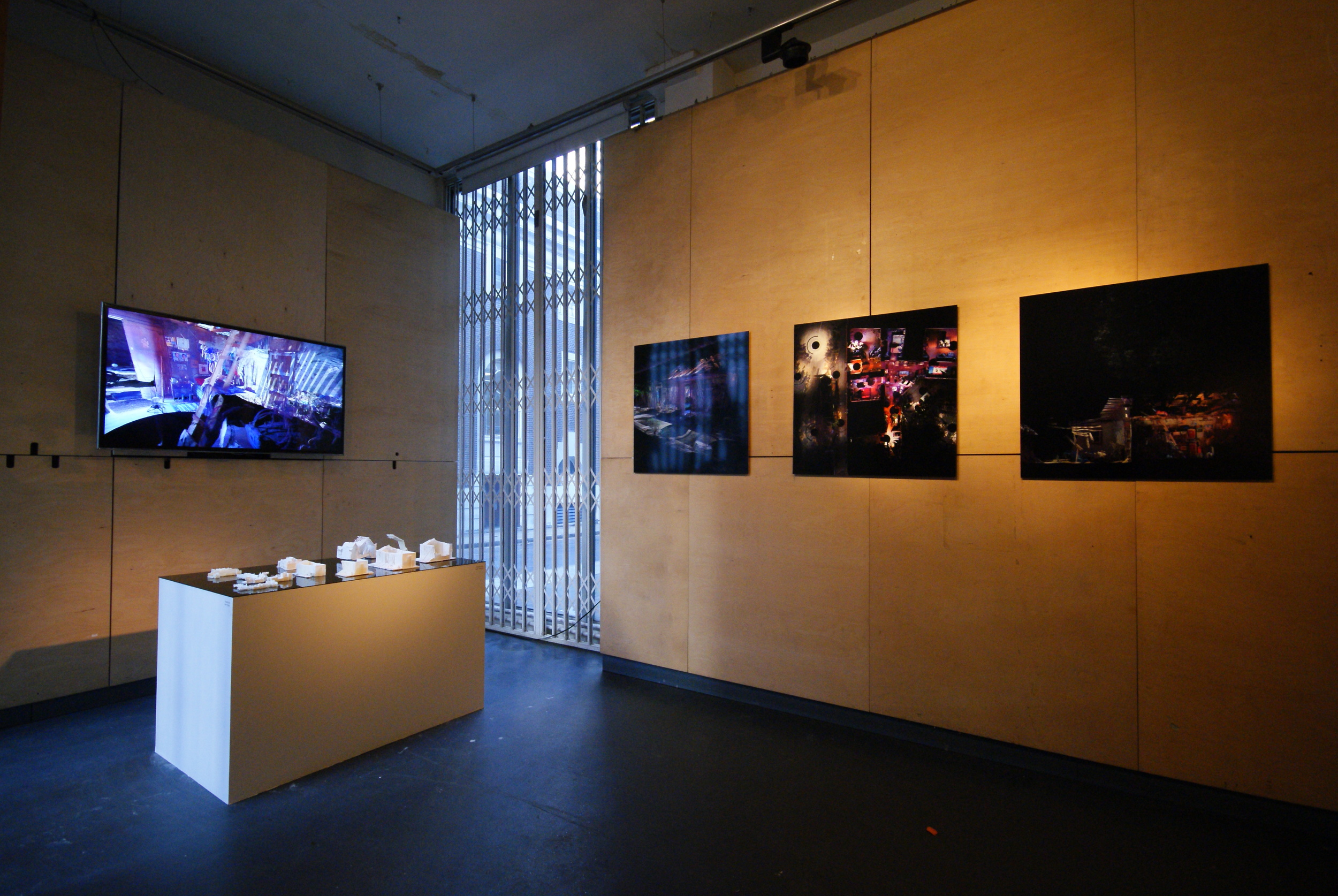
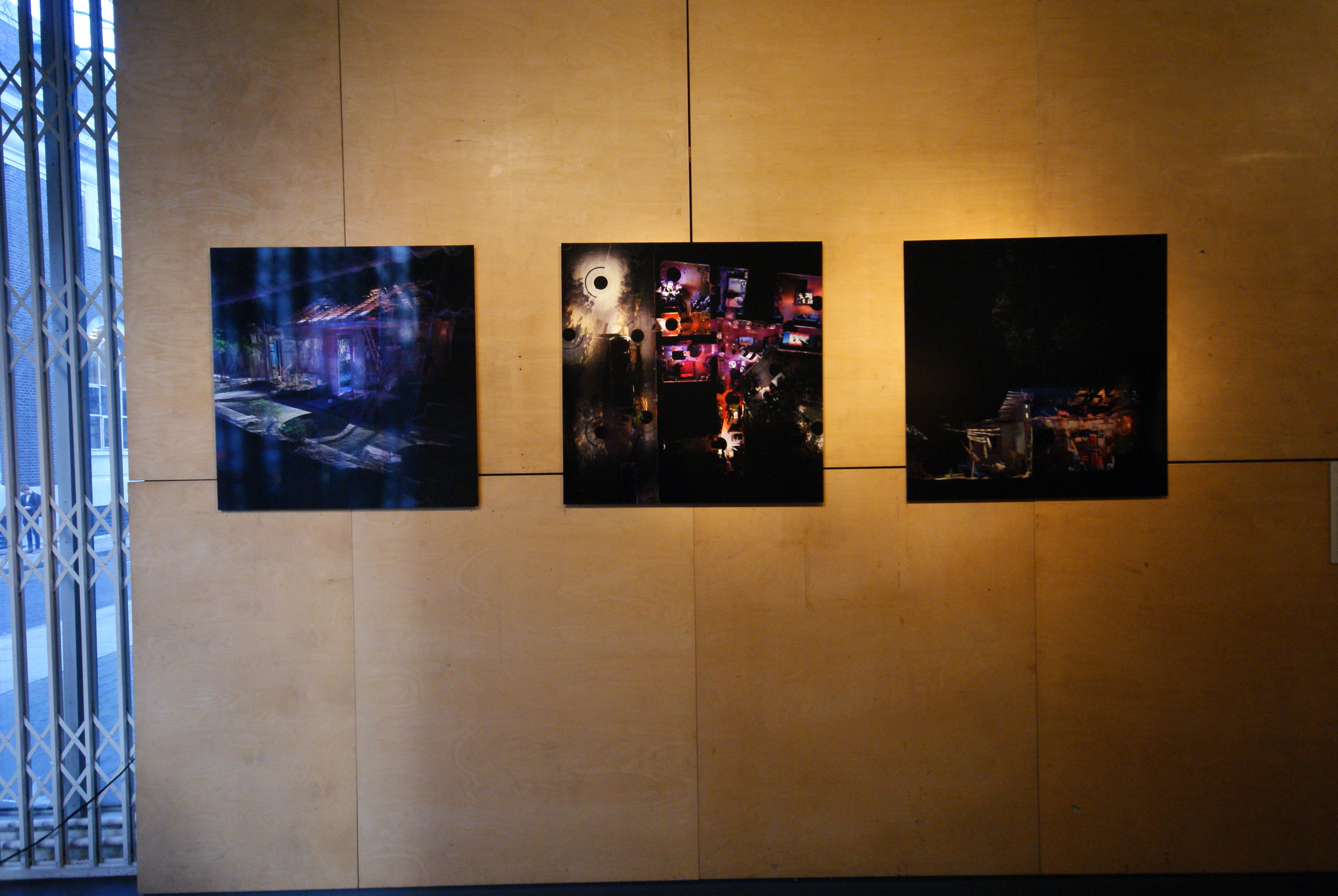
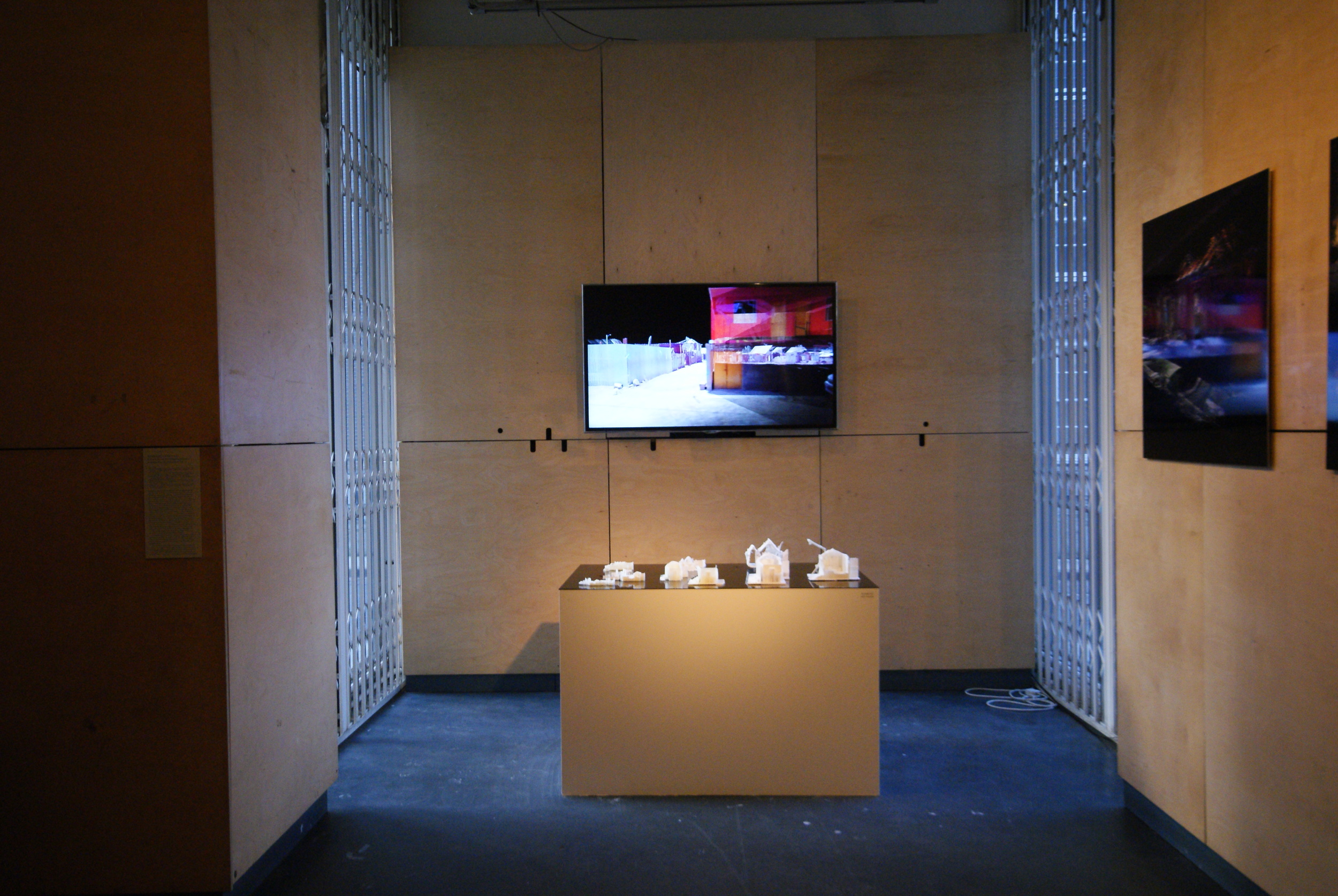
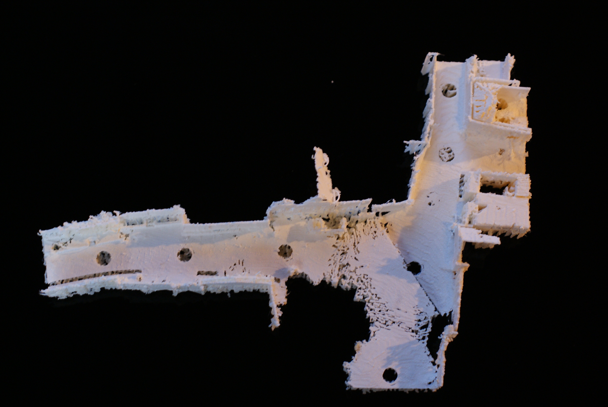
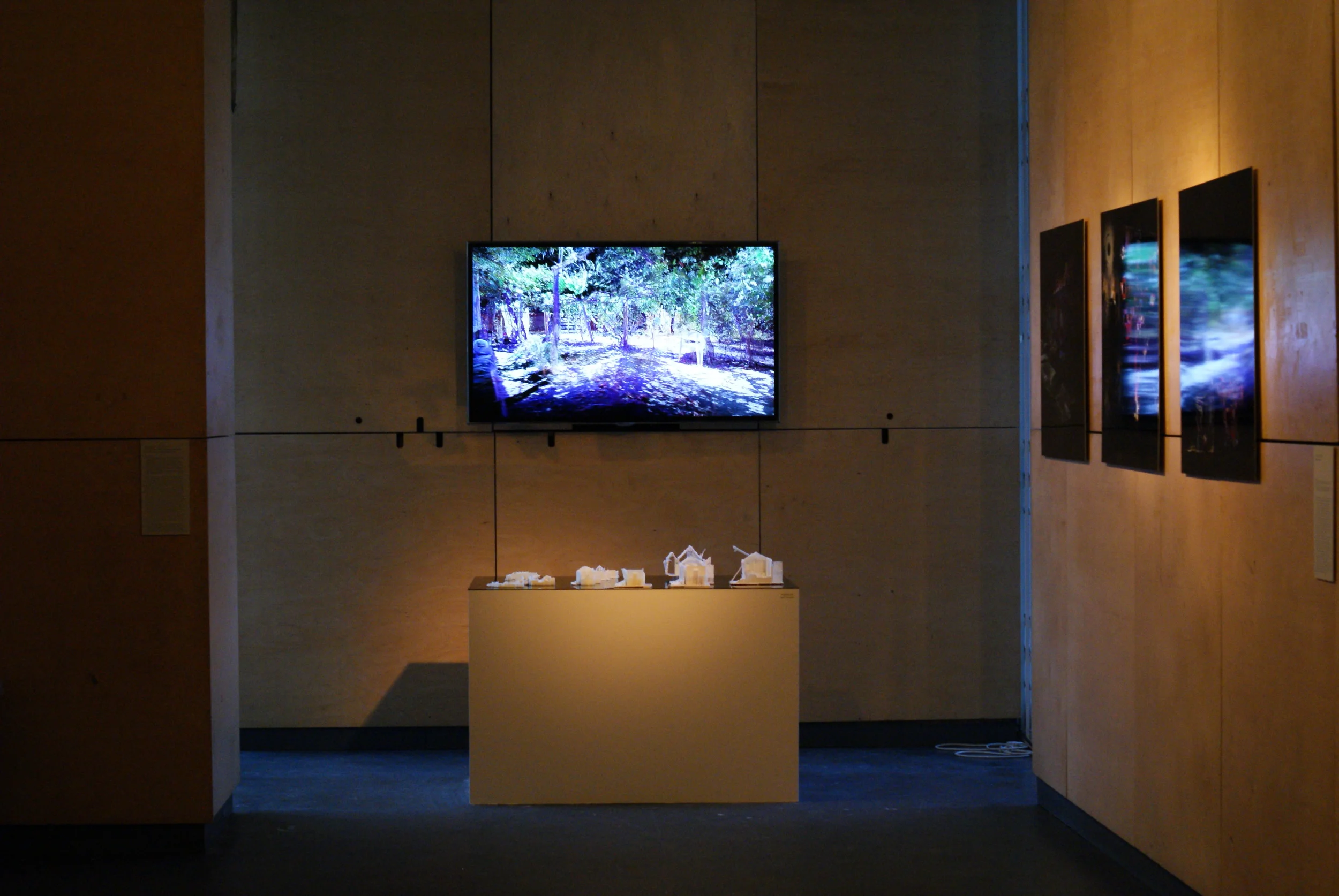
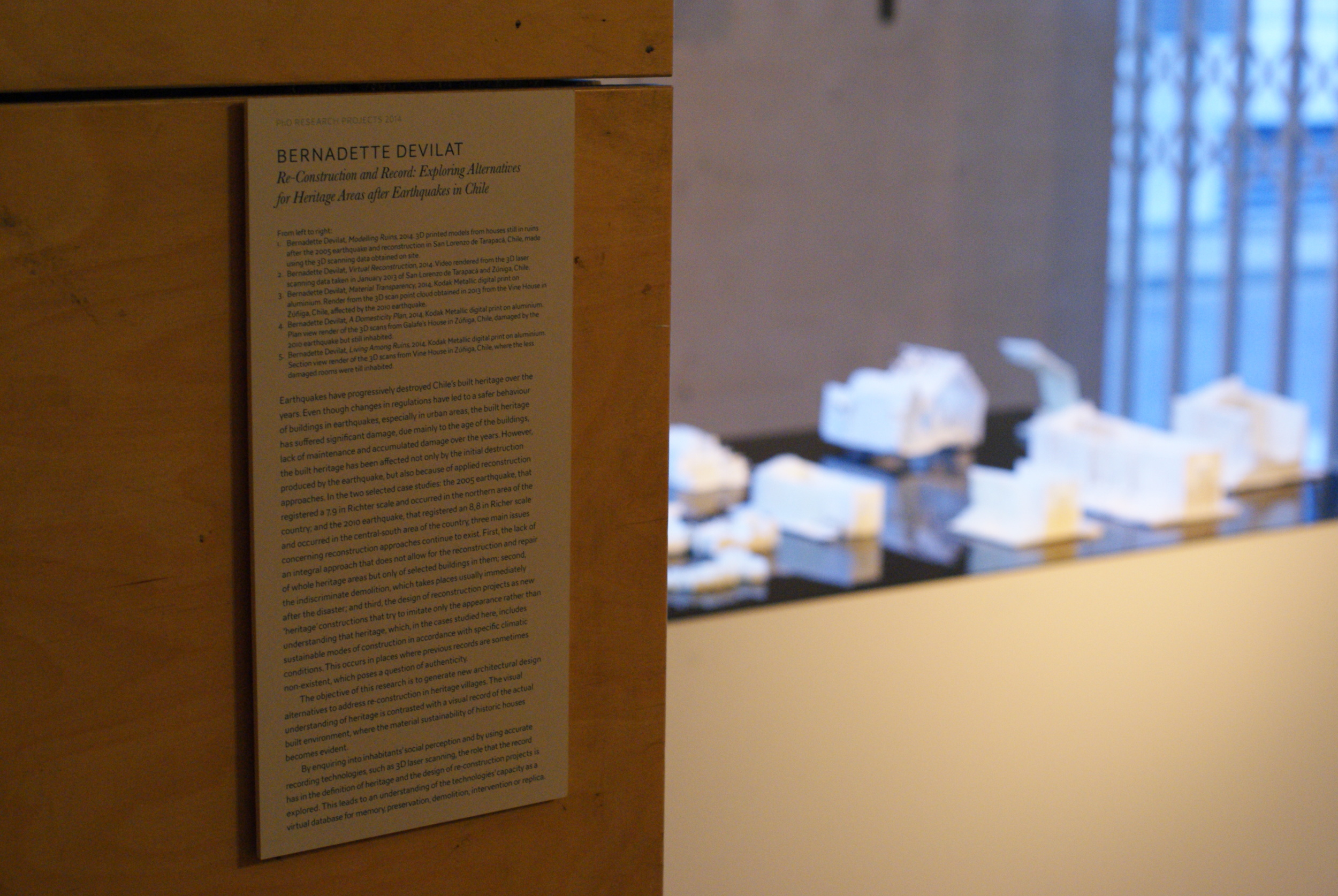
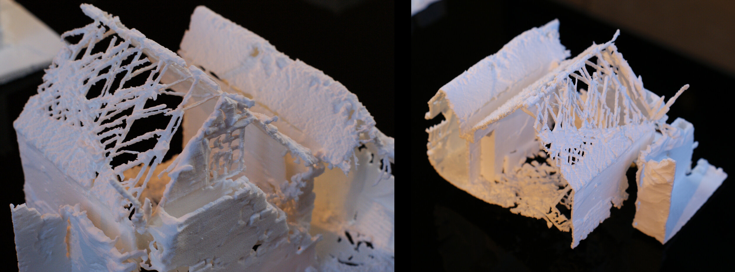
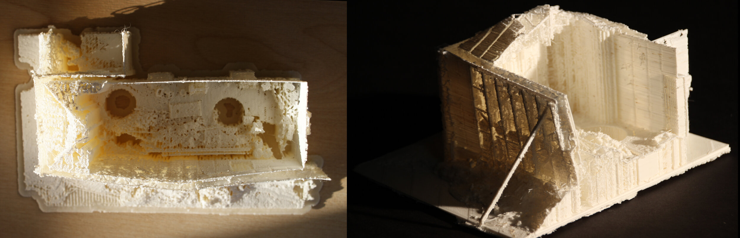
This exhibition explored products from the 3D scanning record done in two historical areas of Chile: San Lorenzo de Tarapacá and Zúñiga, affected by the 2005 and the 2010 earthquakes respectively, part of Bernadette's PhD research. The objective of this research is to generate new architectural and design alternatives to address the re-construction in heritage villages having into account the sense of sustainability that used to characterise them. By enquiring inhabitants’ social perception and using accurate recording technologies, such as 3D laser scanning, the role that the record may have in the definition of what is considered heritage and in the design of re-construction projects is being explored, understanding those technologies’ capacity of being a virtual database for memory, demolition, intervention or replica.
The exhibition showed different types of products from the 3D scan data: high resolution images from two dwellings in Zúñiga; 3D printed models of ruined houses in San Lorenzo de Tarapacá; and videos exploring the 3D record of these two places, which connected the images and models presented. This exhibition was part of the PhD Research Projects Conference 2014 at The Bartlett School of Architecture, University College London, and was open from the 25th February until the 21st March 2014. .
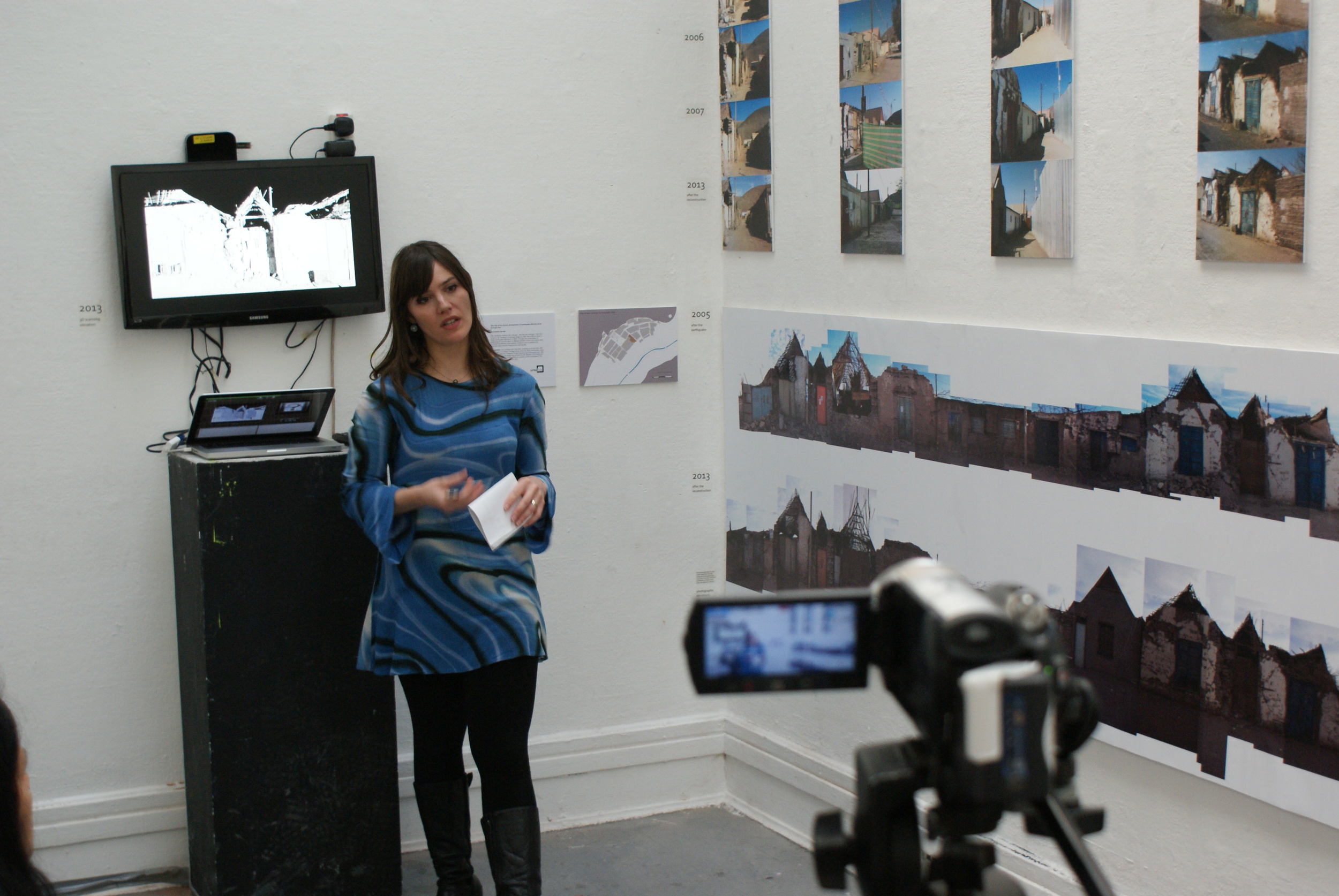
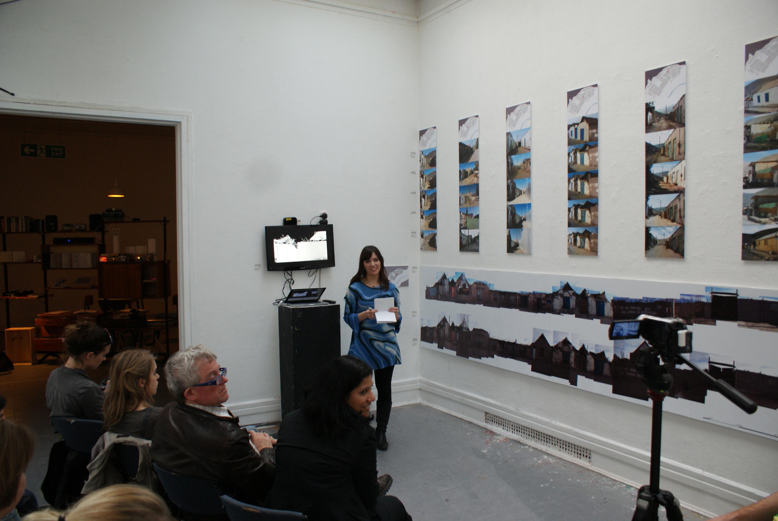
Part of 'Cities Methodologies' Exhibition 2013, London
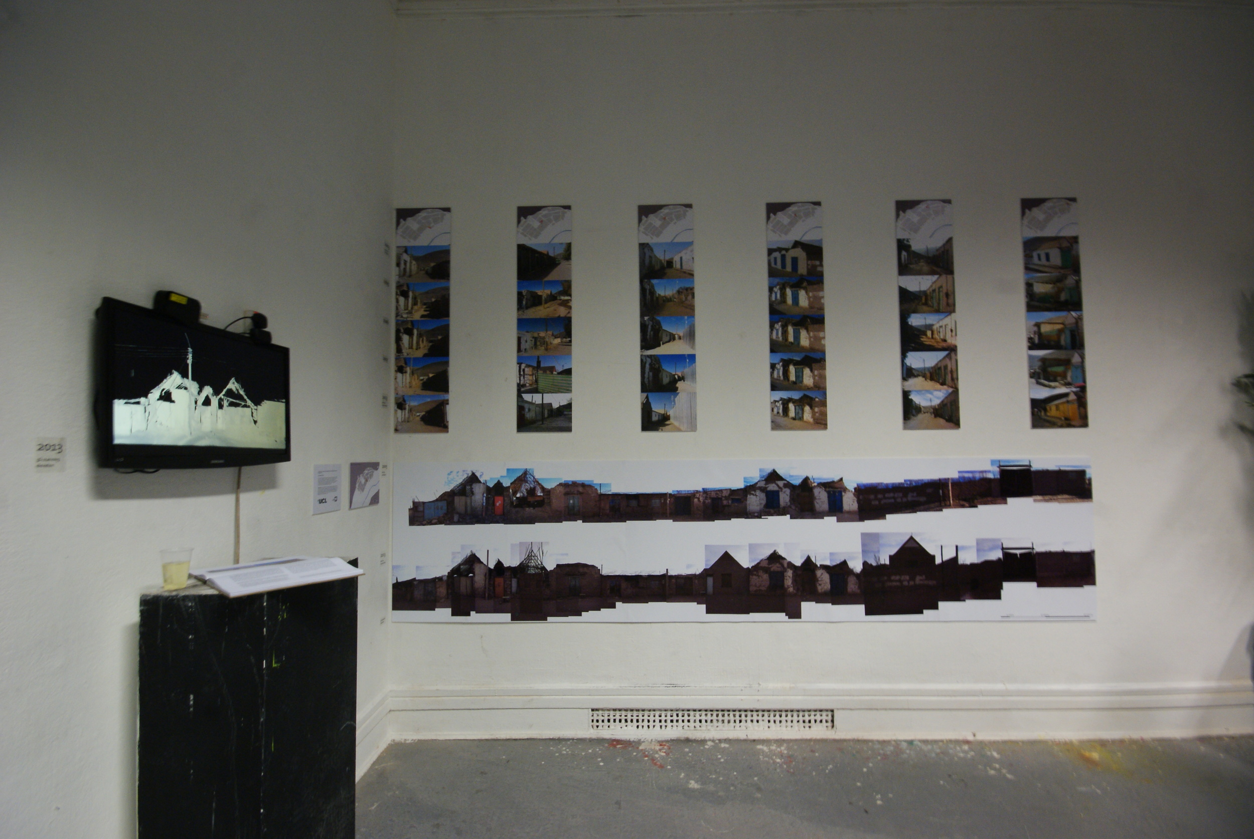
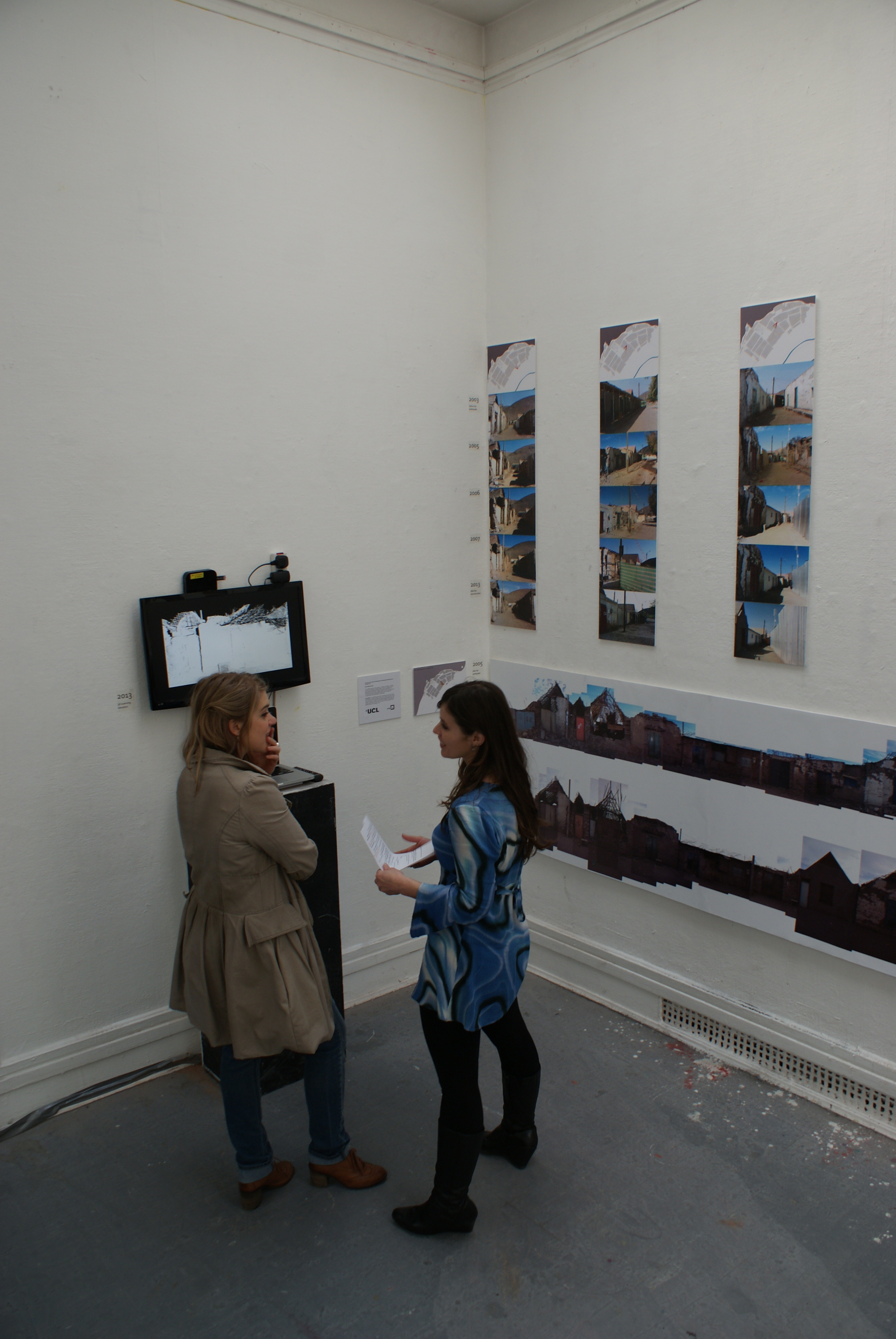
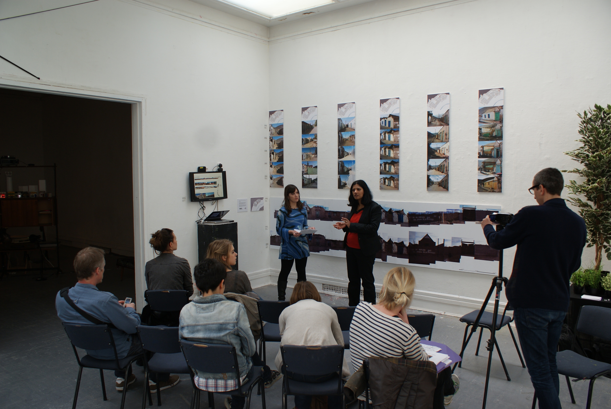
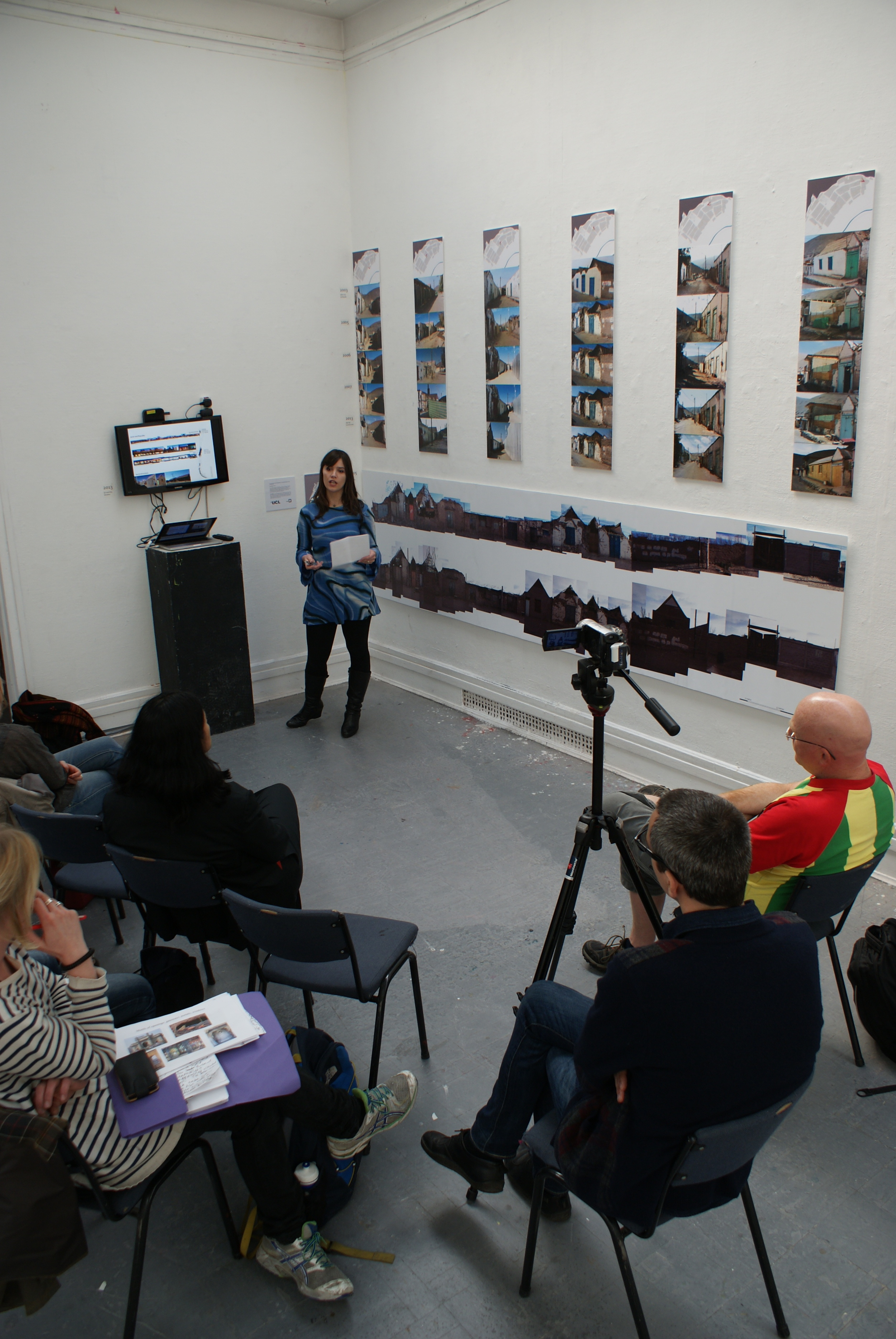
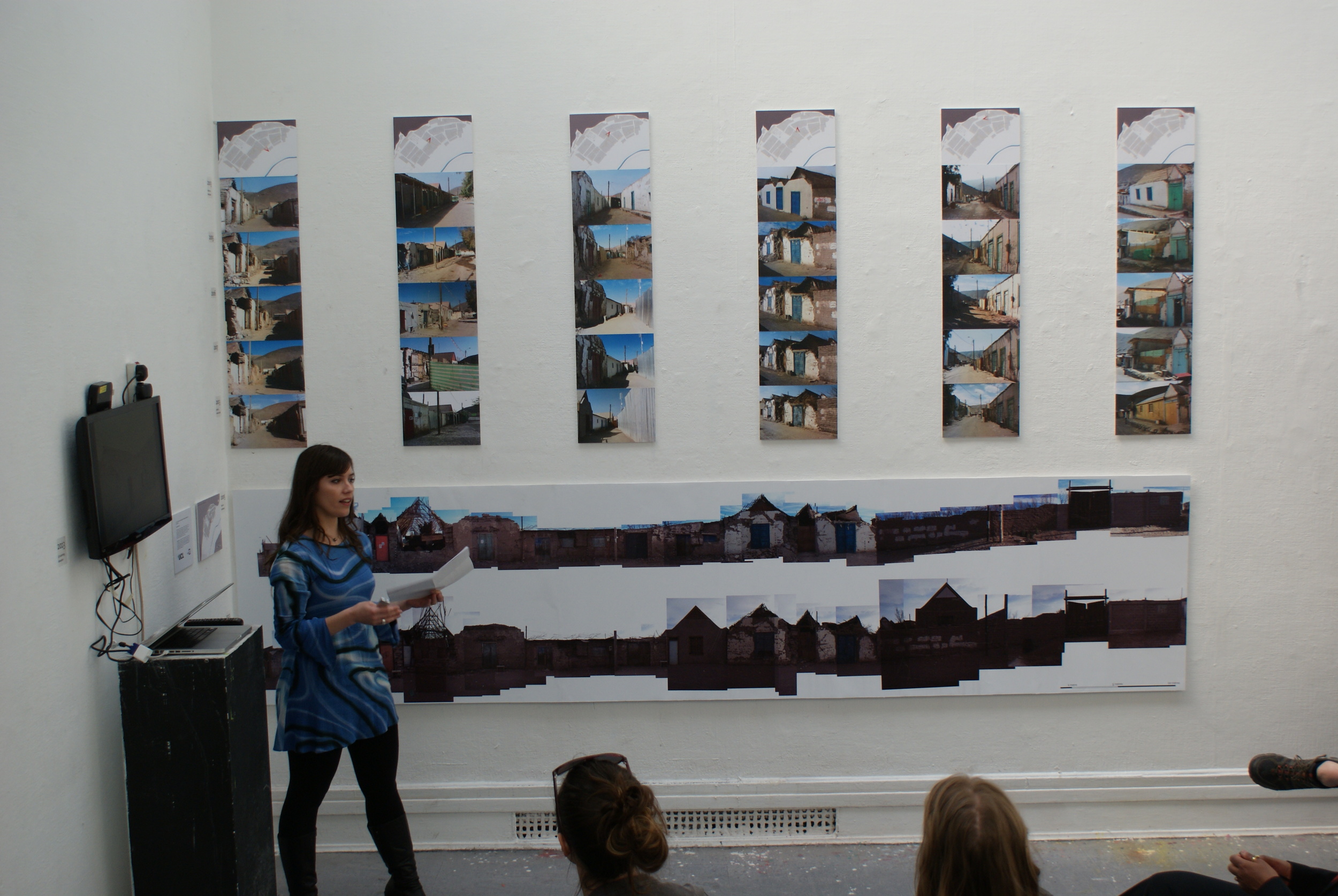
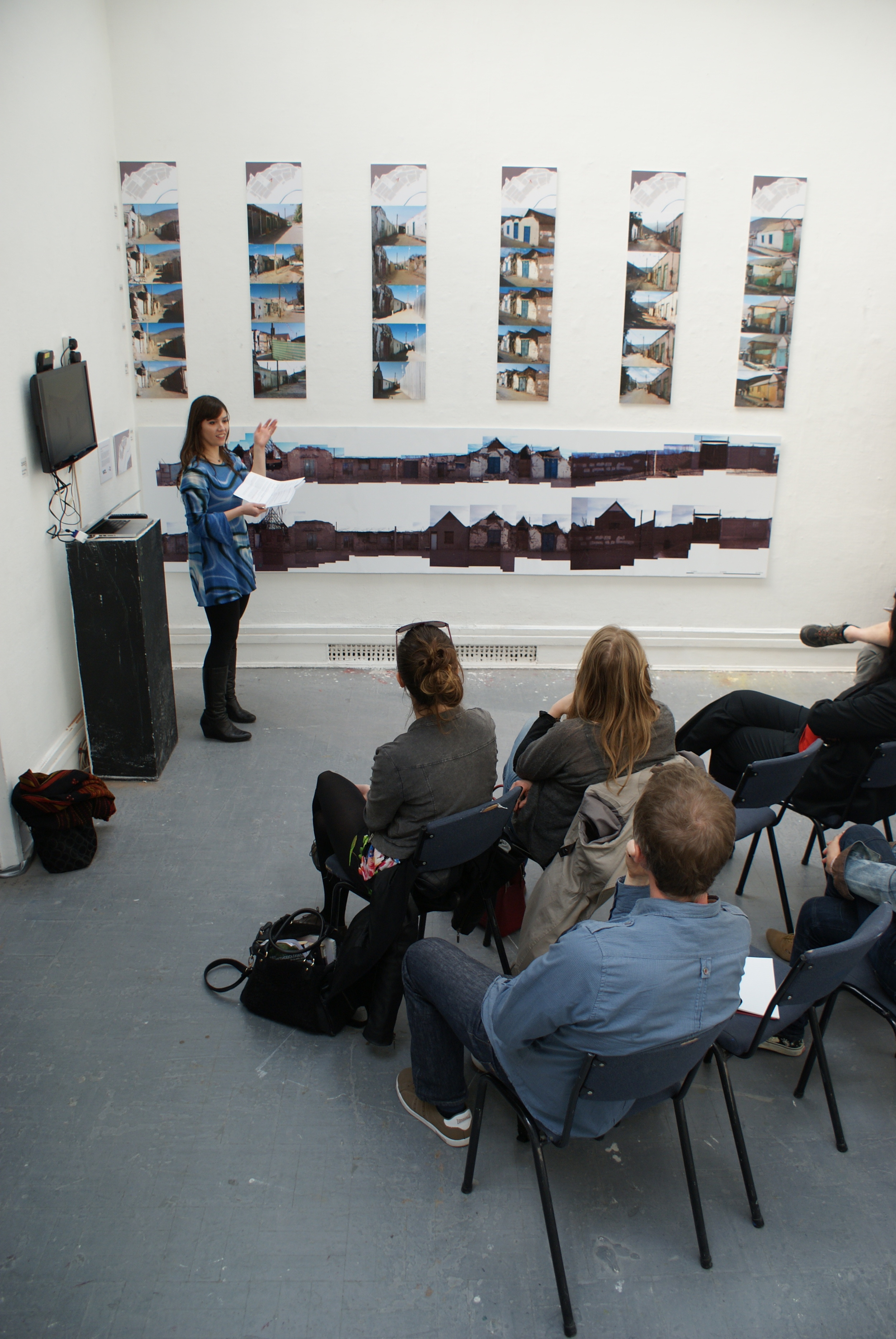
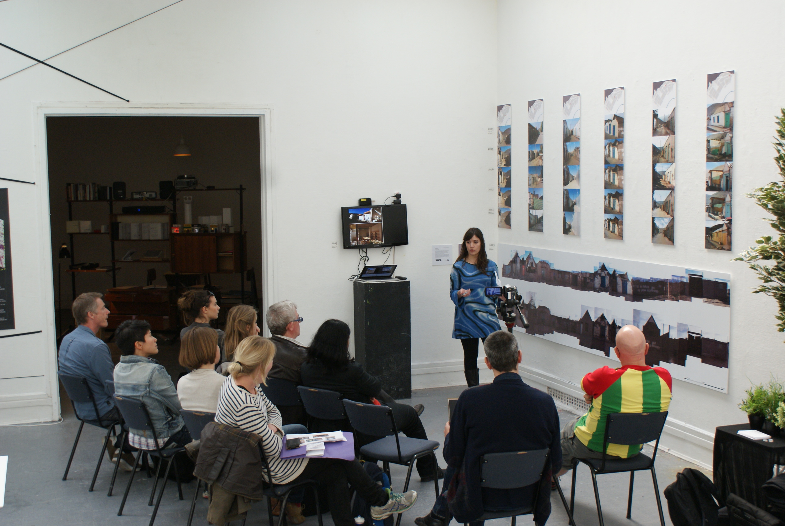
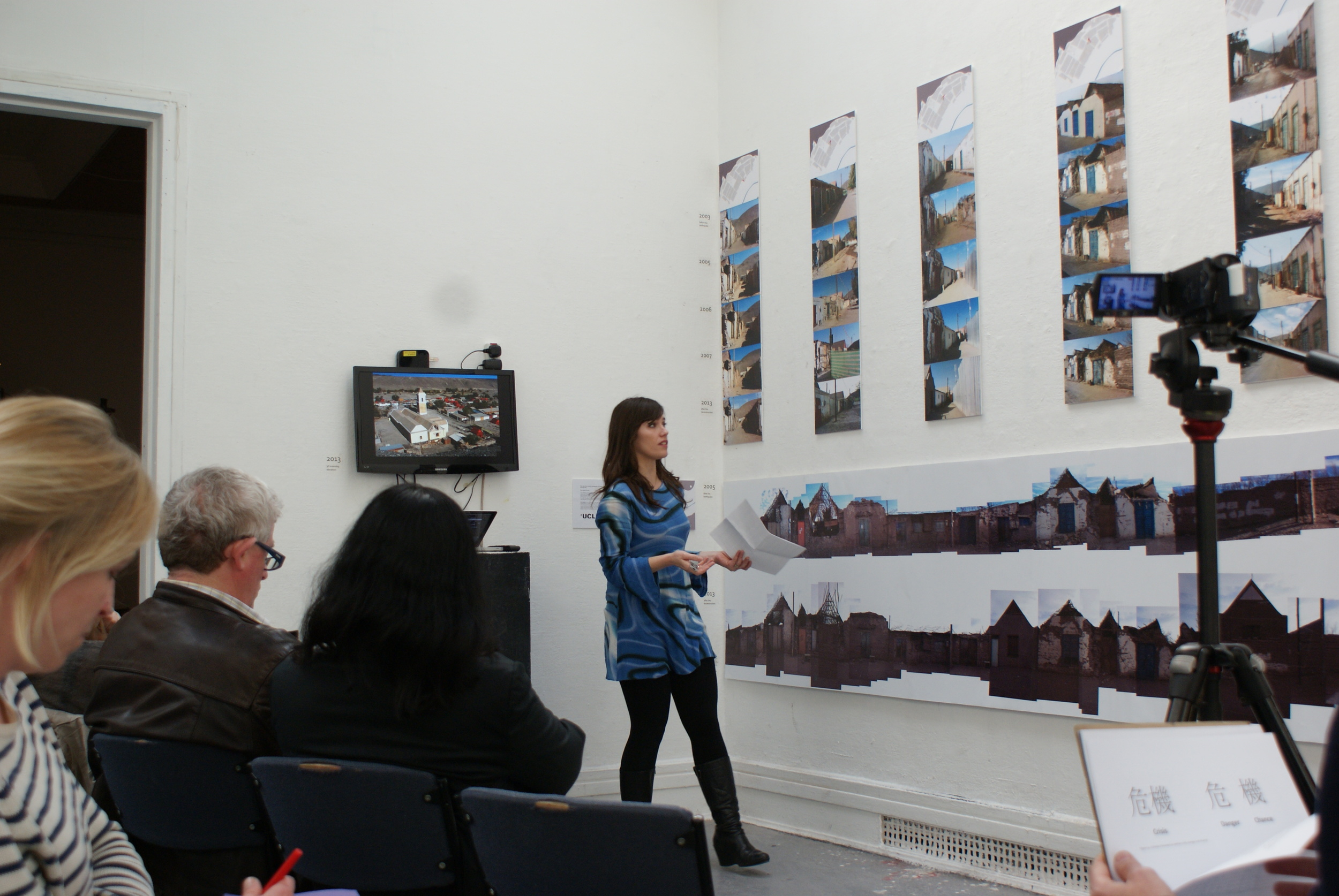
The role of the record: photography of earthquake affected areas through time
The exhibition explored the changes -and the non-changes- that a heritage village in Chile, San Lorenzo de Tarapacá, has suffered since a large earthquake affected it in 2005 by the juxtaposition of photographic records taken in different periods of time, aiming to reveal sometimes imperceptible variations and to question the reconstruction process that follows the earthquake. Vertically, a series based on six archive photographs taken before the seismic event are presented. Horizontally, two photographic elevations of one street façade can be seen, the first taken a month after the 2005 earthquake and the second taken after the reconstruction has finished in 2013. As this method has the capacity of being a virtual database for memory, it is interesting how it could affect the decisions of demolition, intervention or replica in the design of reconstruction projects, especially when complemented with other recording technologies such as 3D laser scanning, further explored in Bernadette's PhD research.