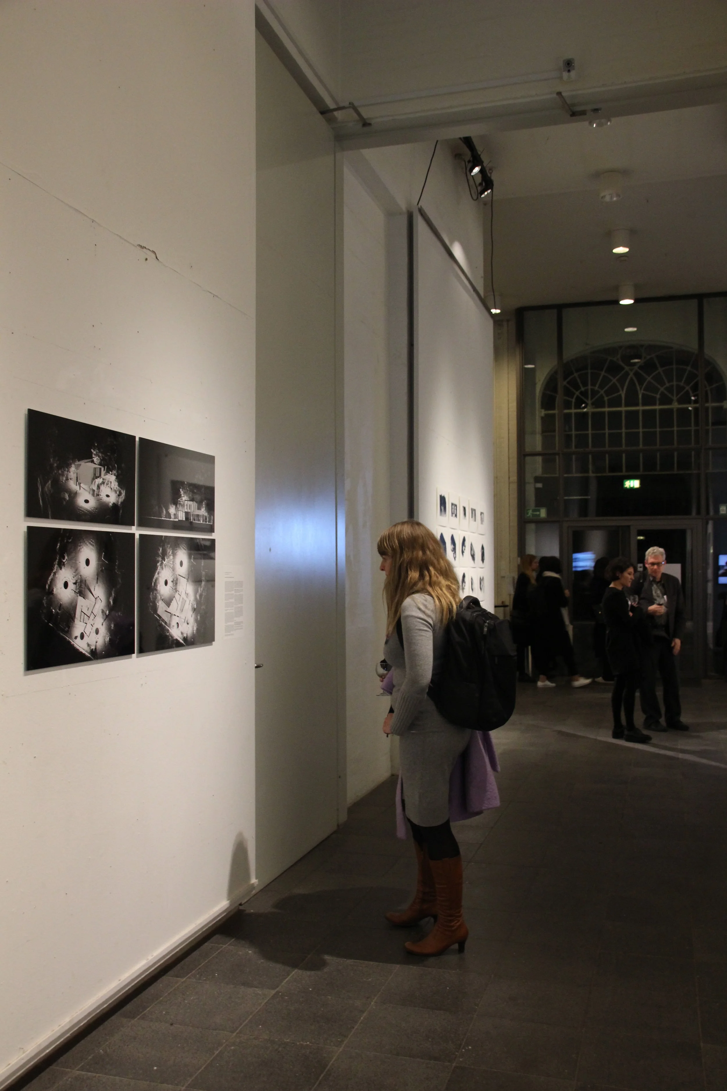


To survey existing sites and structures is probably the starting point of almost every architecture project aimed to be rooted in a specific place. Physical dimensions, vegetation, traces of use and prior constructions are incorporated in drawings as long as they are deemed relevant for the design and depending on the time available. Thus, a drawing of the context is, usually, a selective representation of reality. However, what if all physical features and every detail of the site can be drawn accurately and comprehensively in a short time? What if that information can be retrieved at any time without visiting it?
3D laser scanning recording technology can provide this type of information through a measurable three-dimensional digital model of the reality. Architects can draw upon it or use it as a basis for images, technical drawings, and videos, among other applications. Would the fact of conveying such amount of information affect the way architects design and draw?
To reflect on the impact of this technology we look at the project of a house near Santiago, Chile. We designed it remotely from London upon a 3D laser scan record of the site made in 30 minutes. The new construction was carefully positioned within the existing elements, which determined its geometry and vistas.