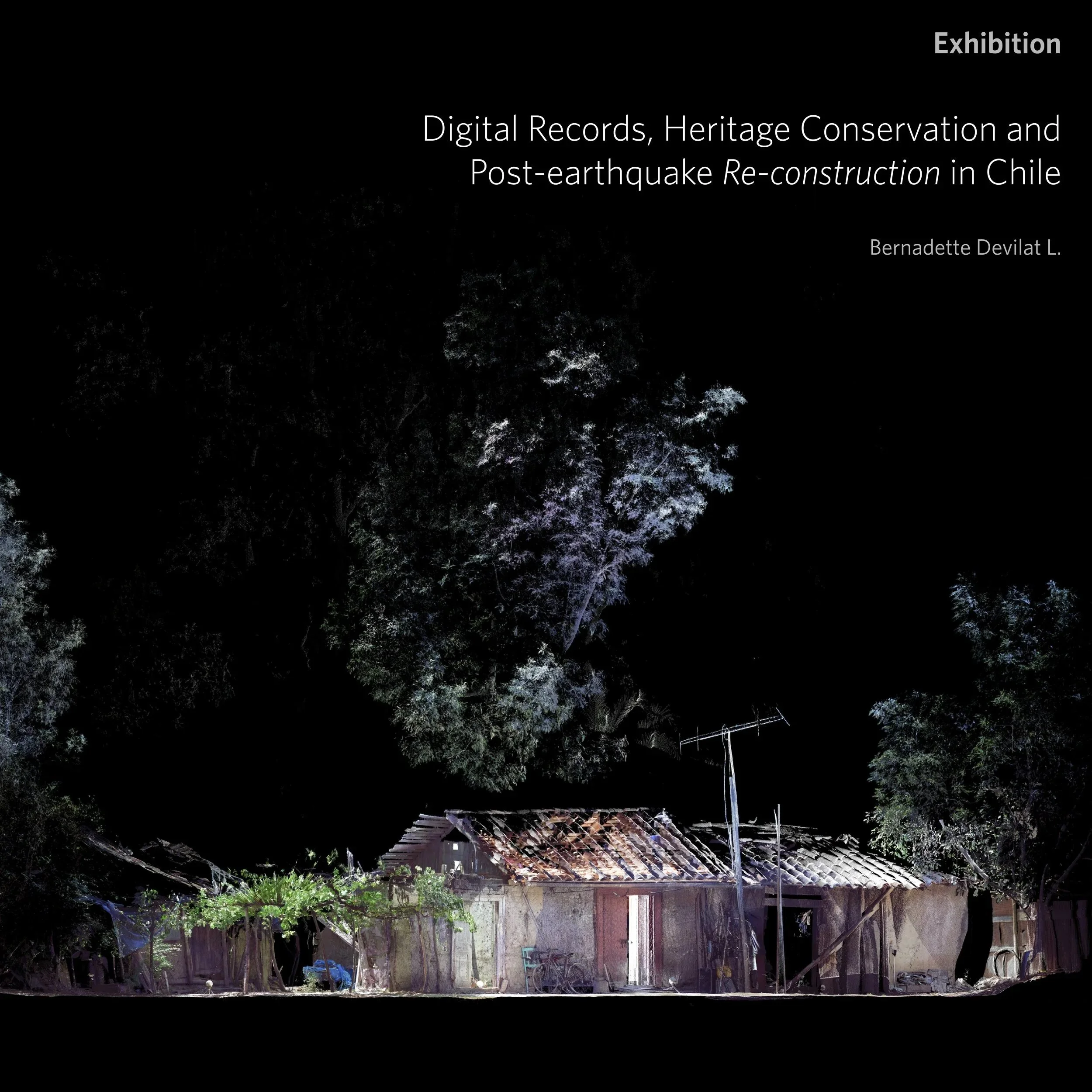
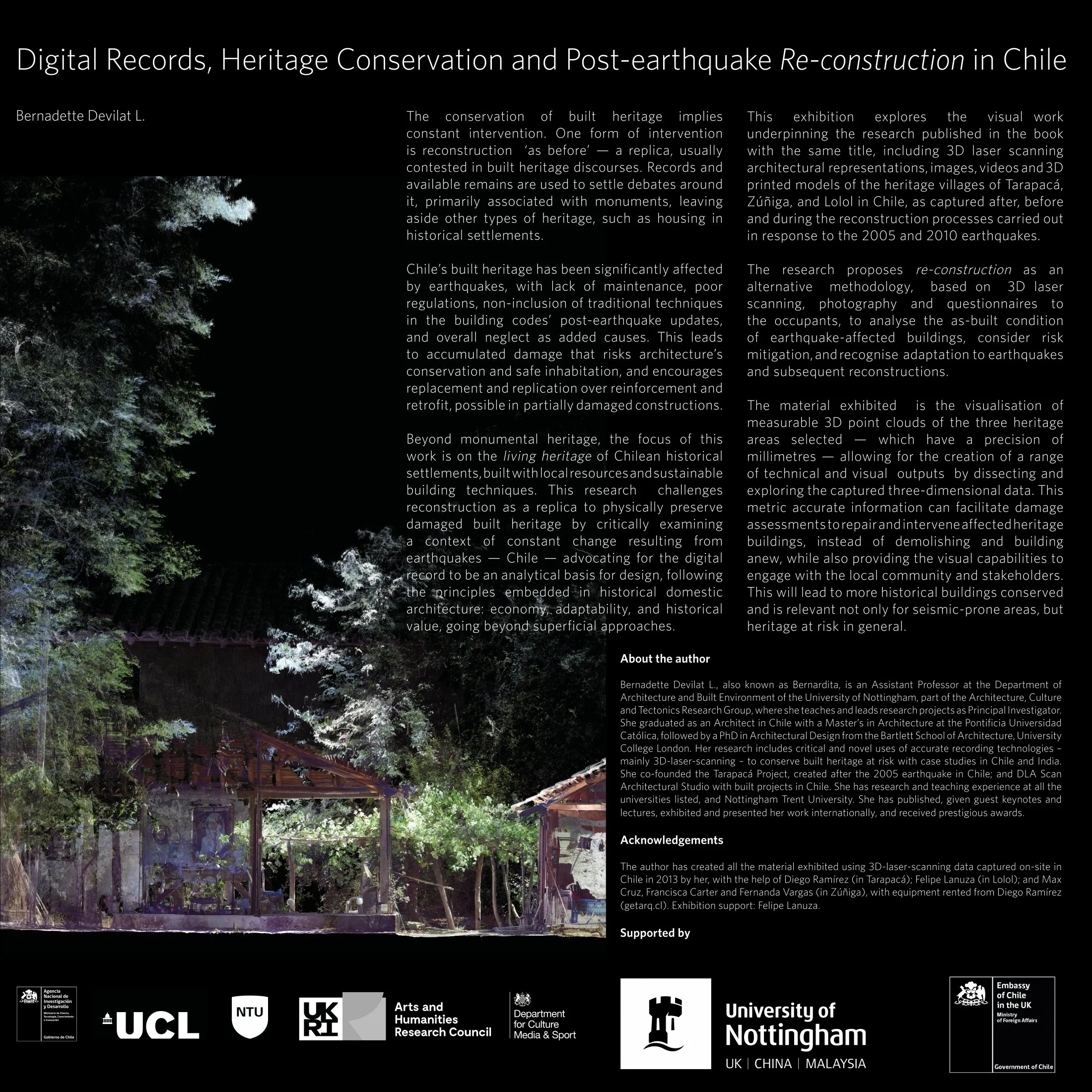
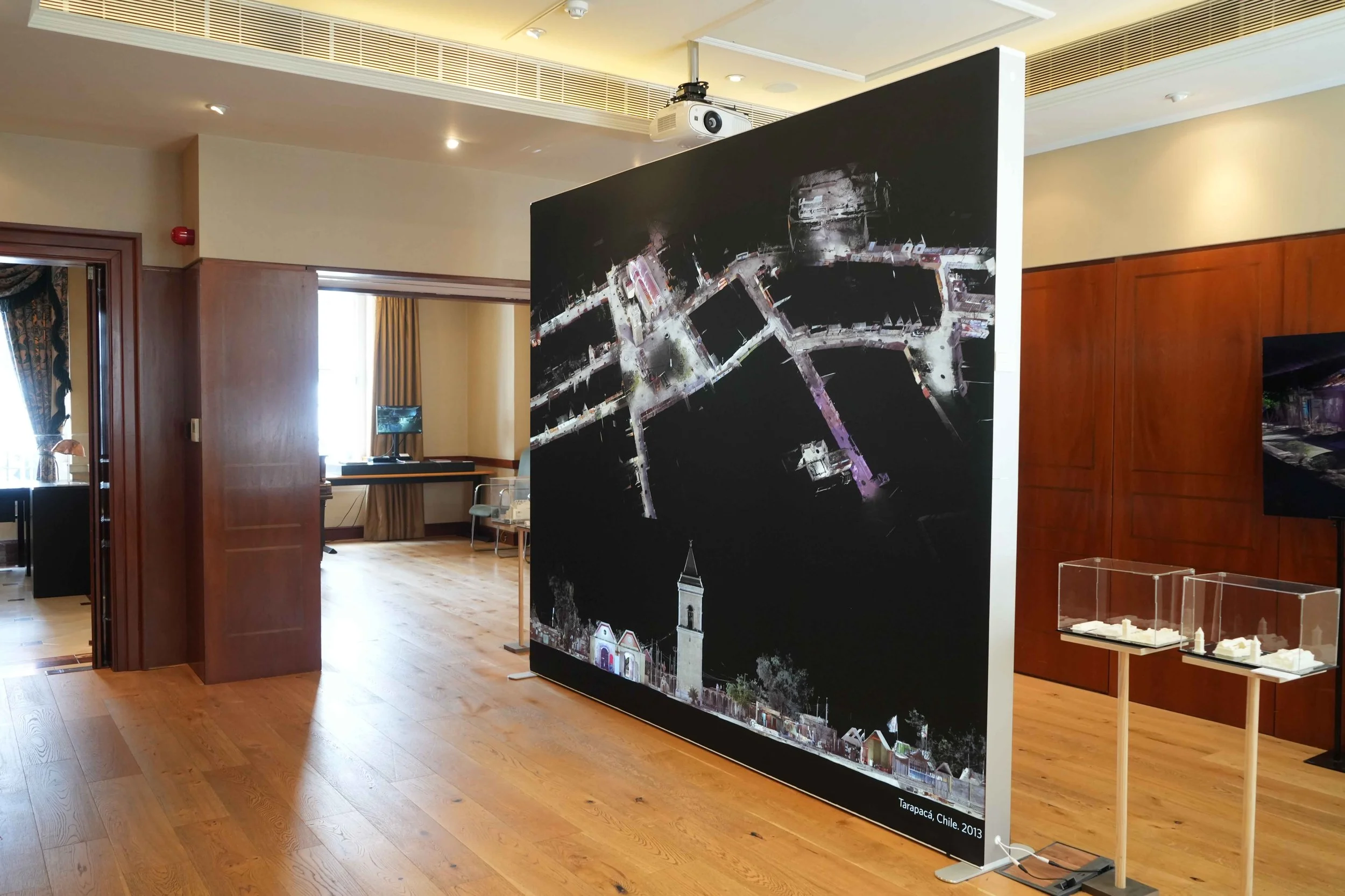
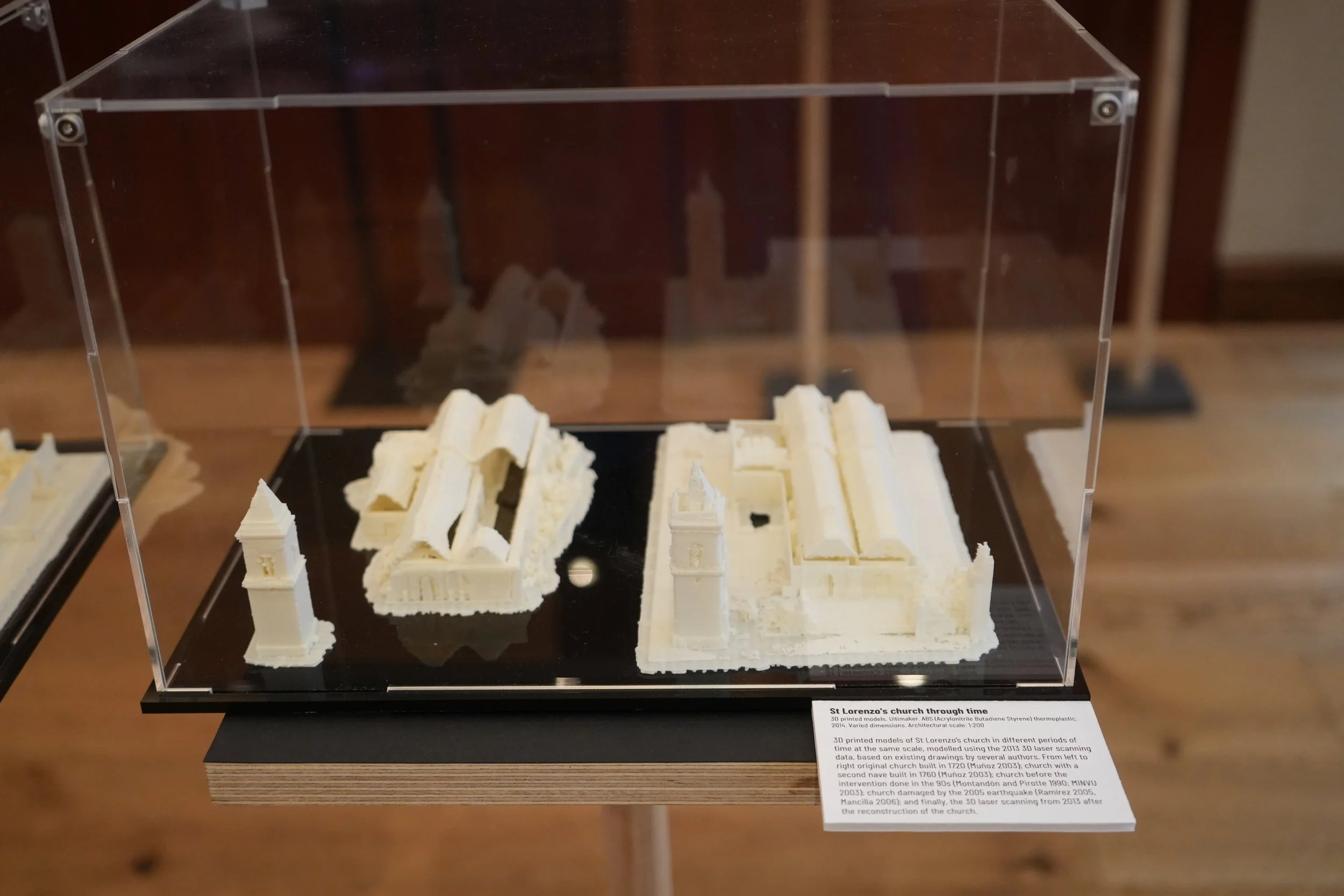
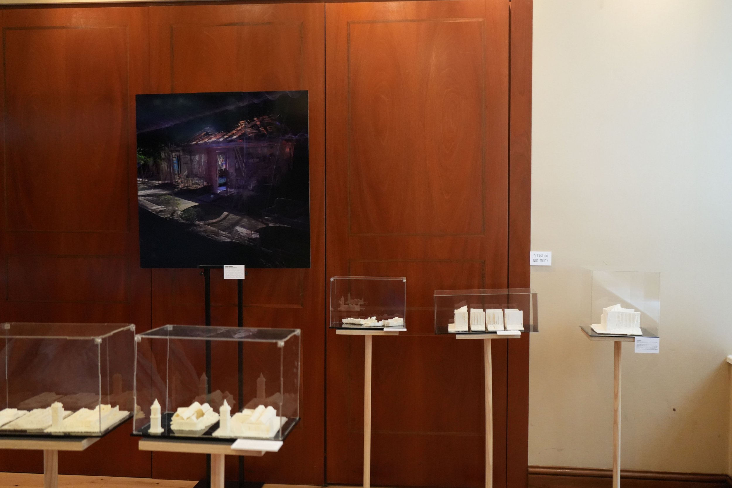
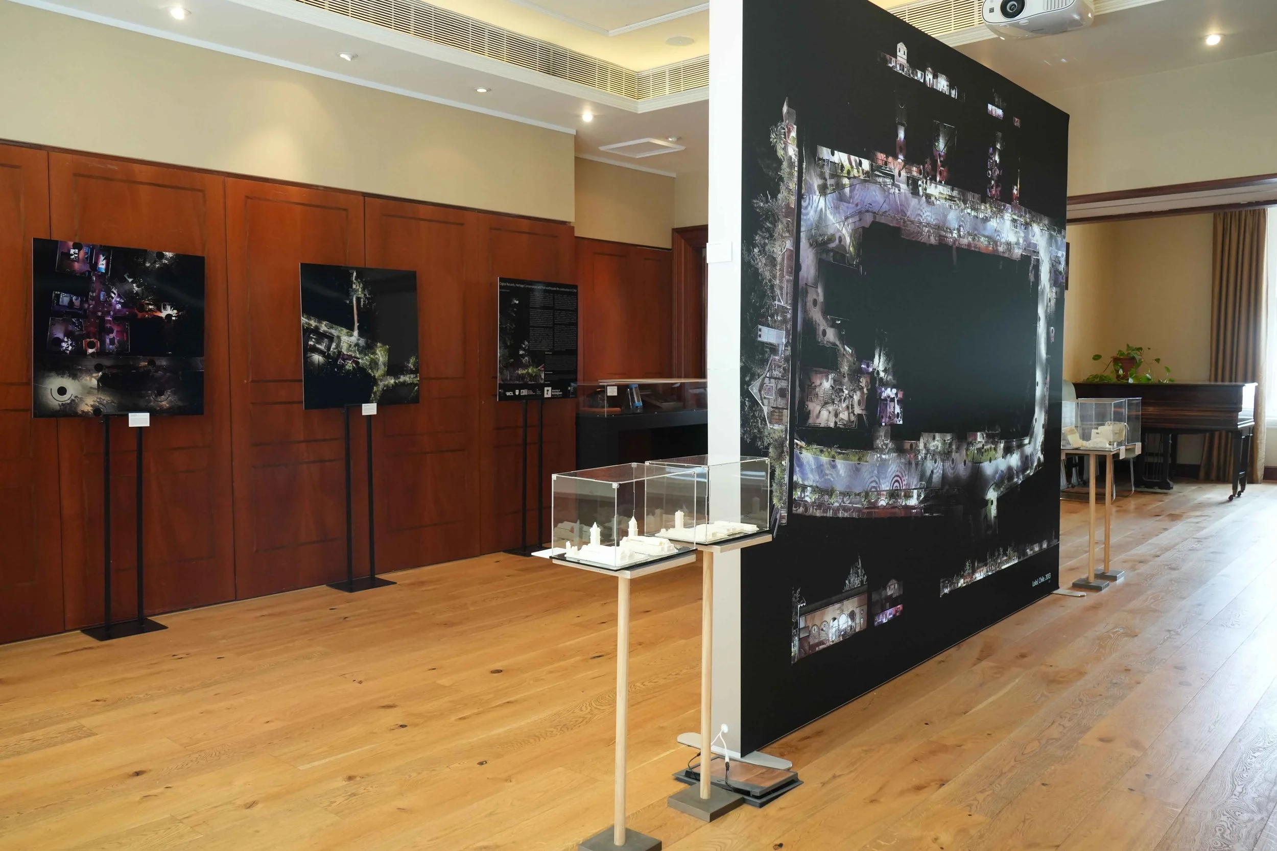
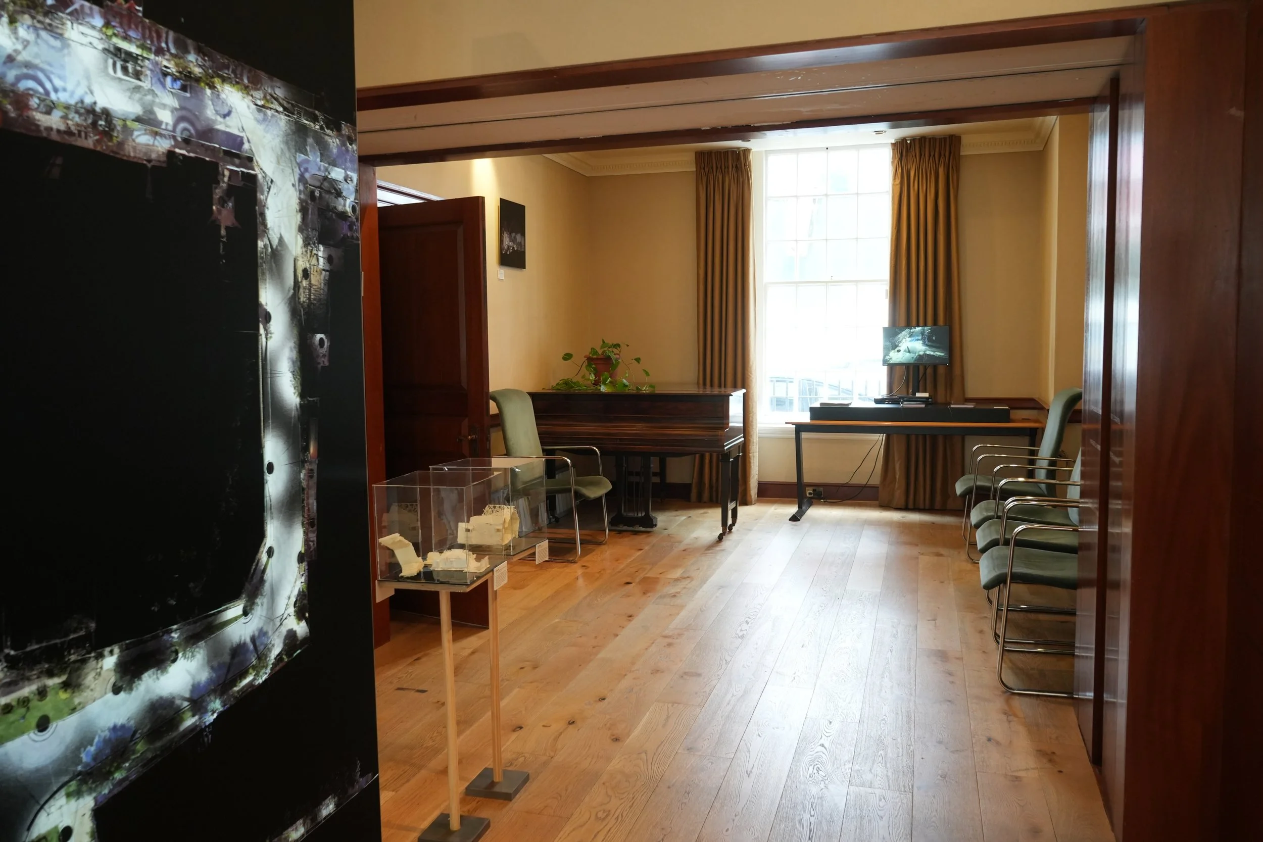
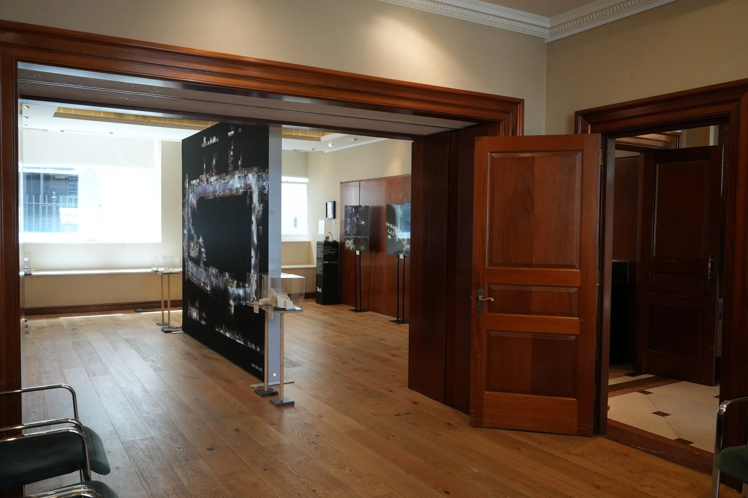
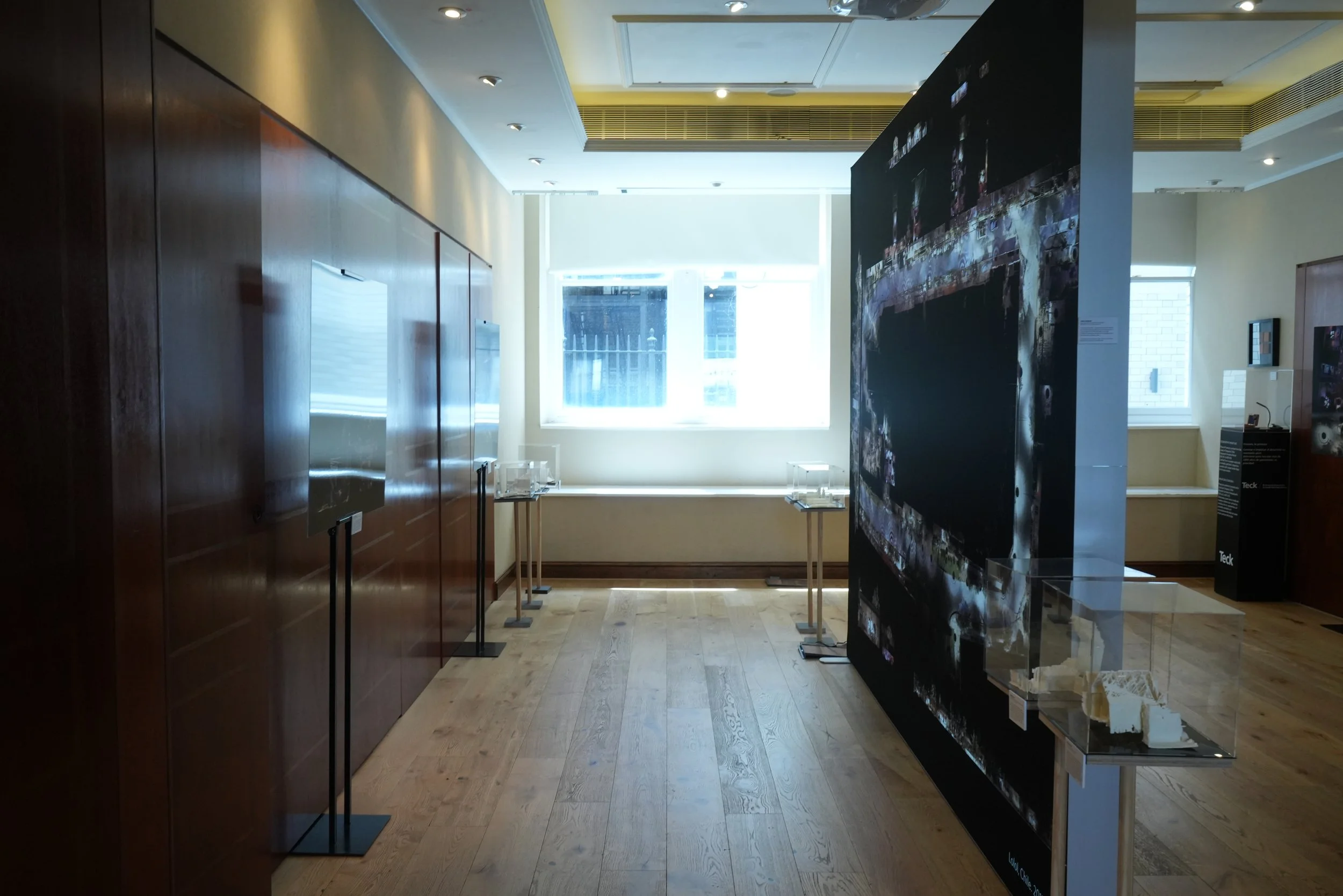
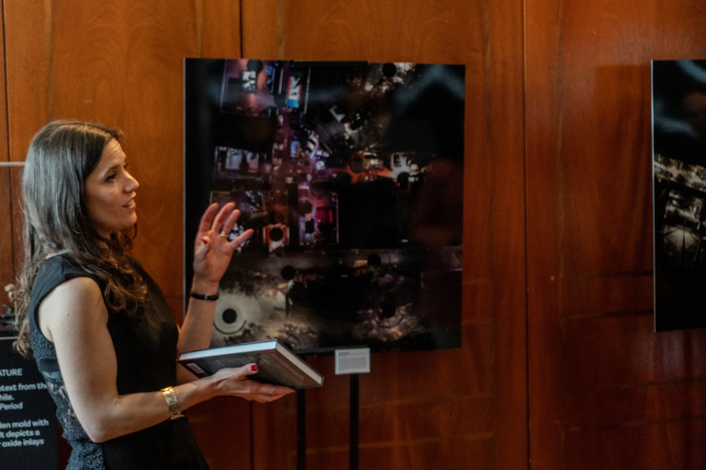
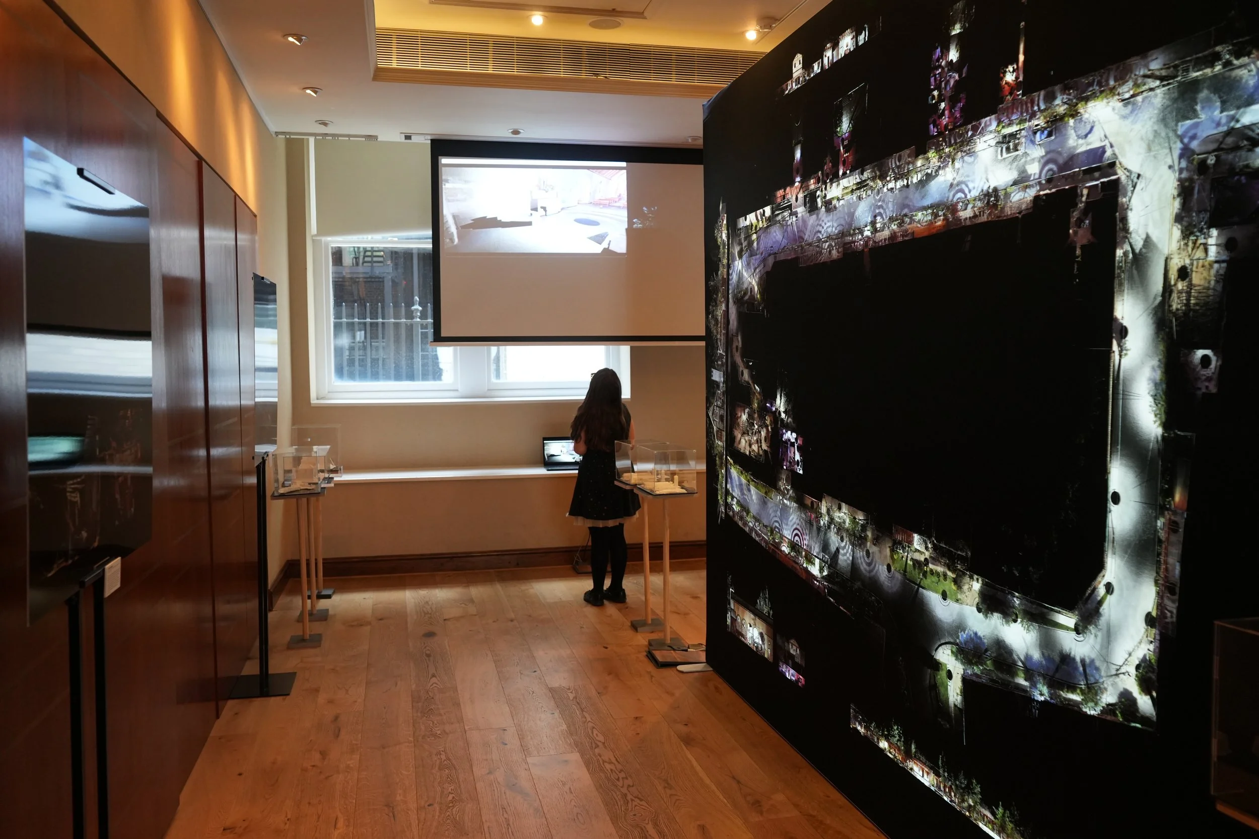
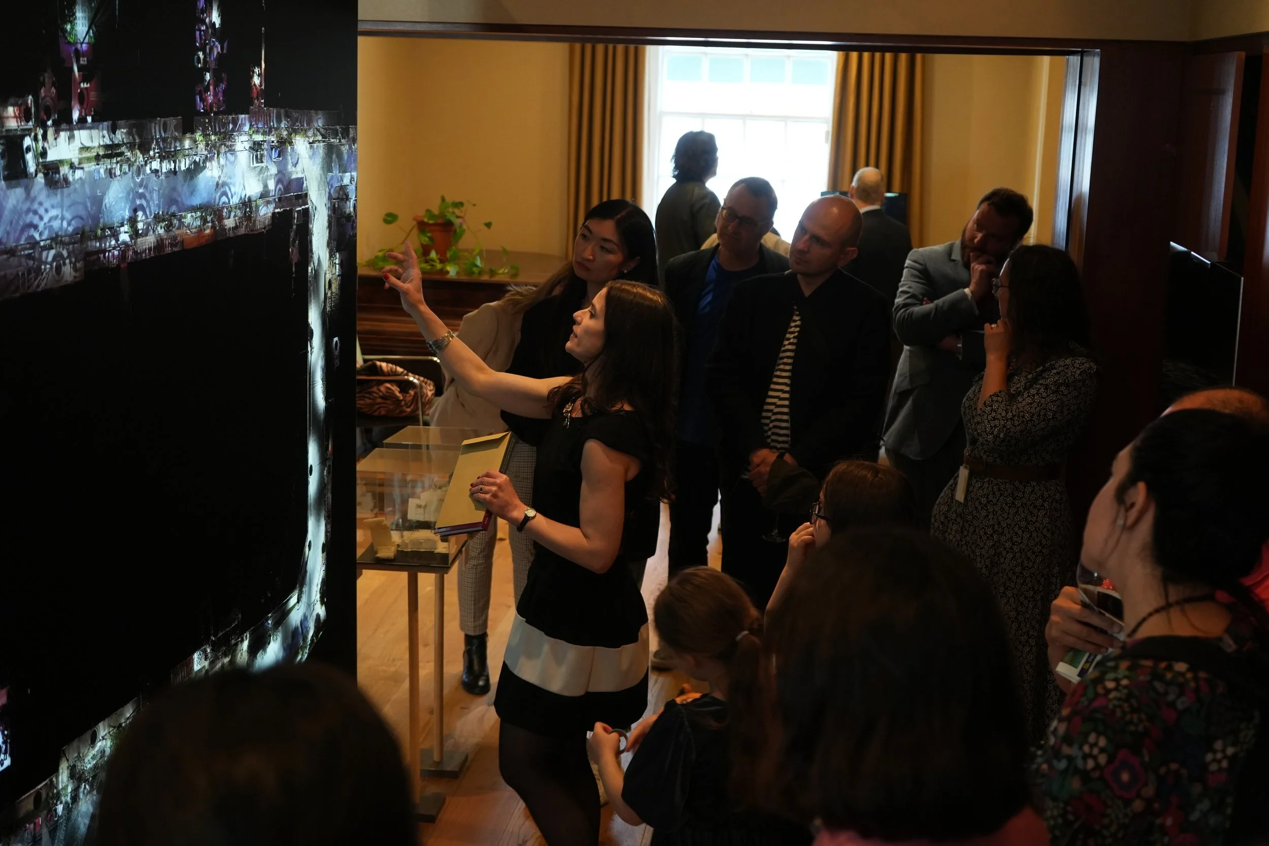
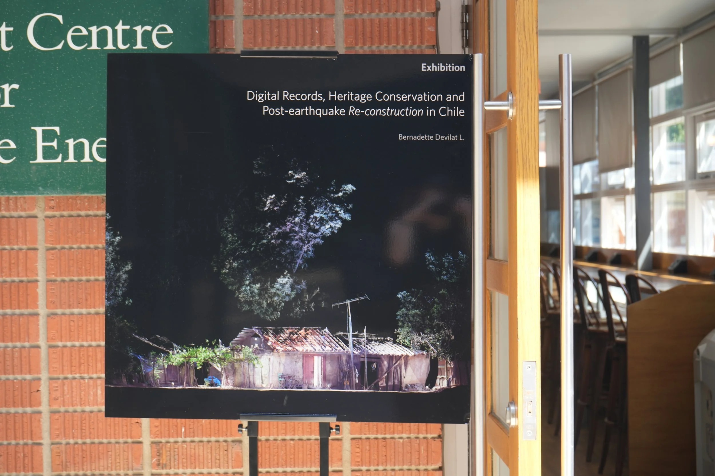
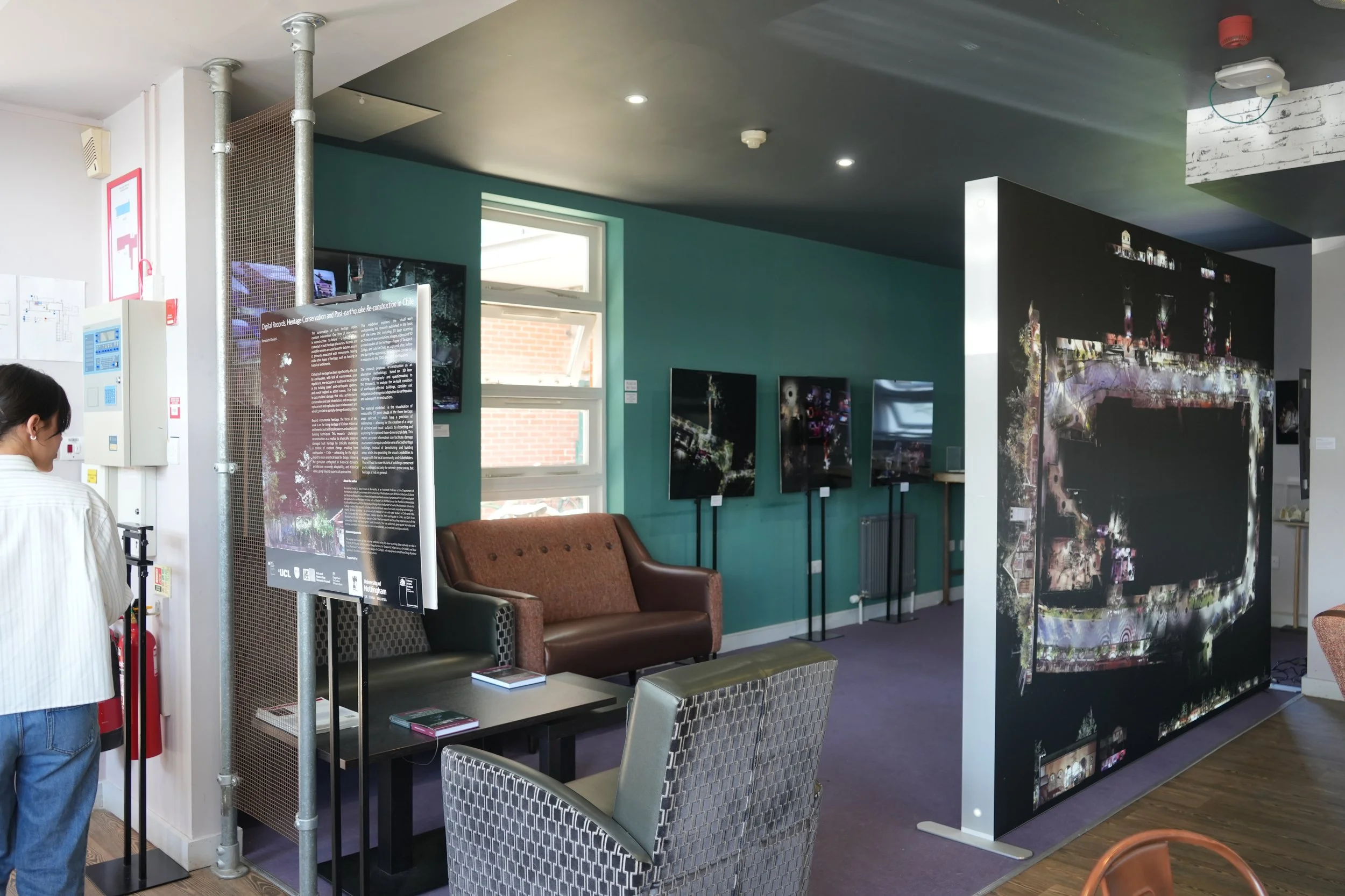
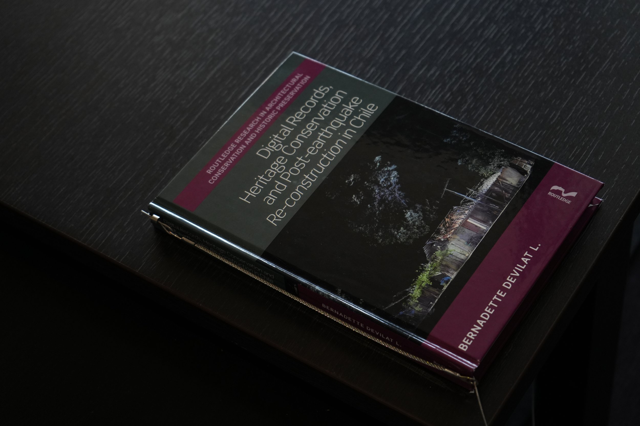
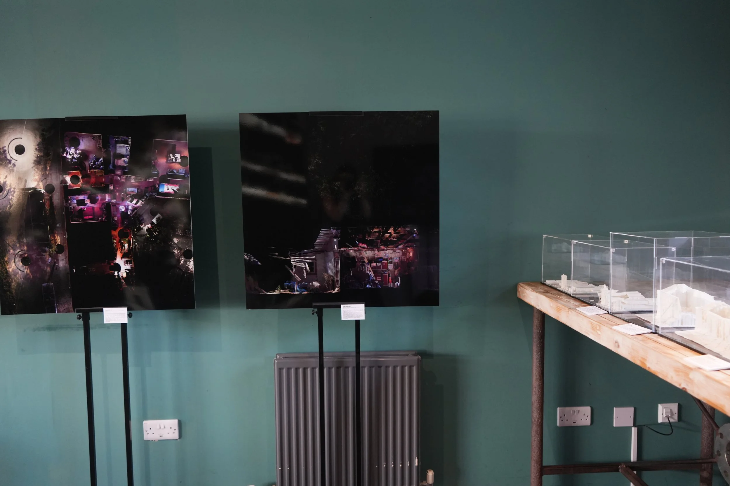
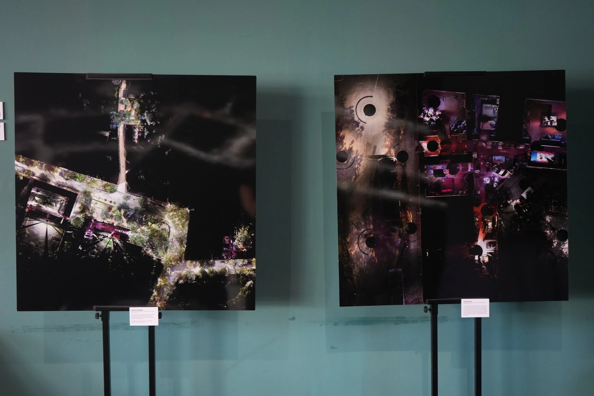
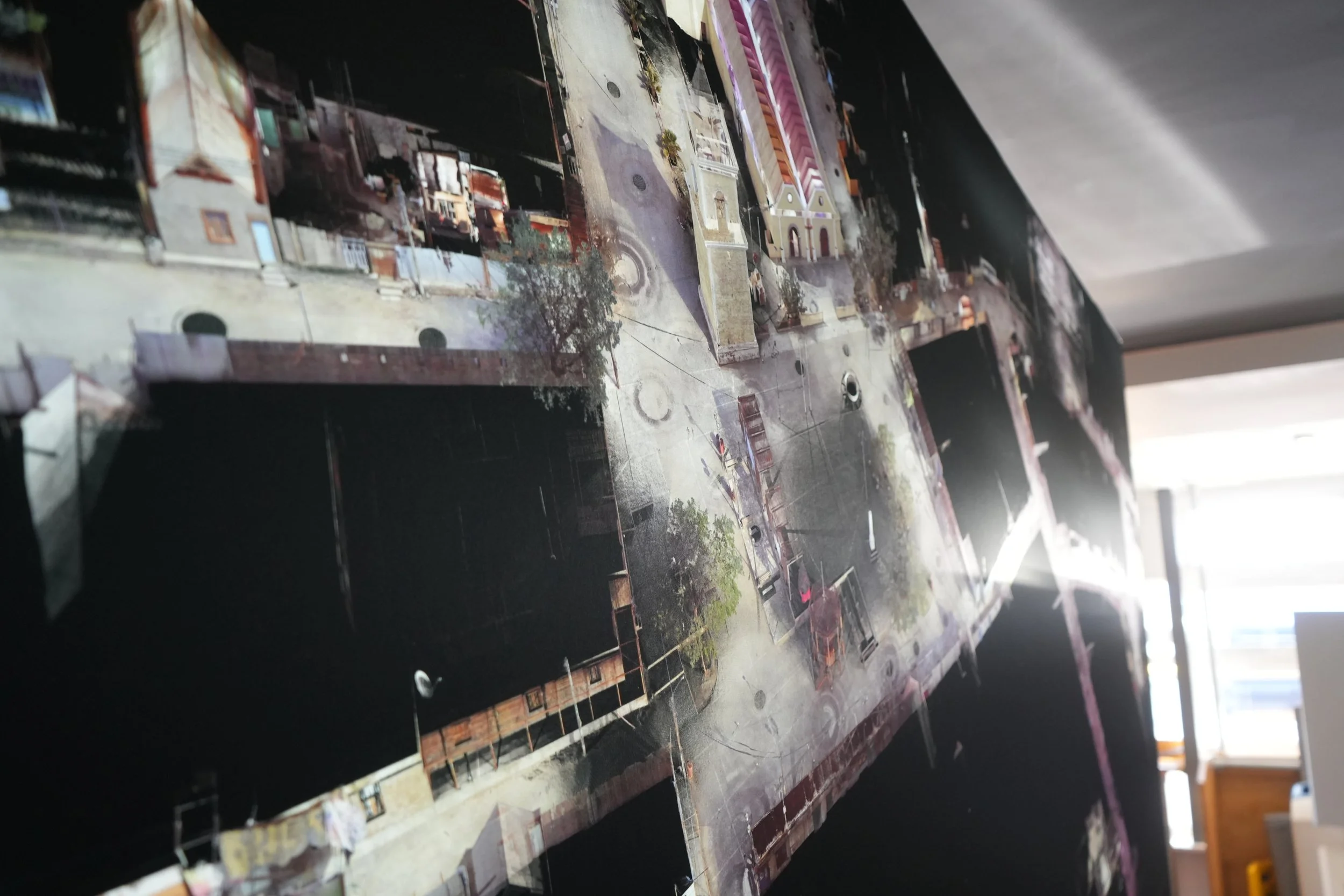
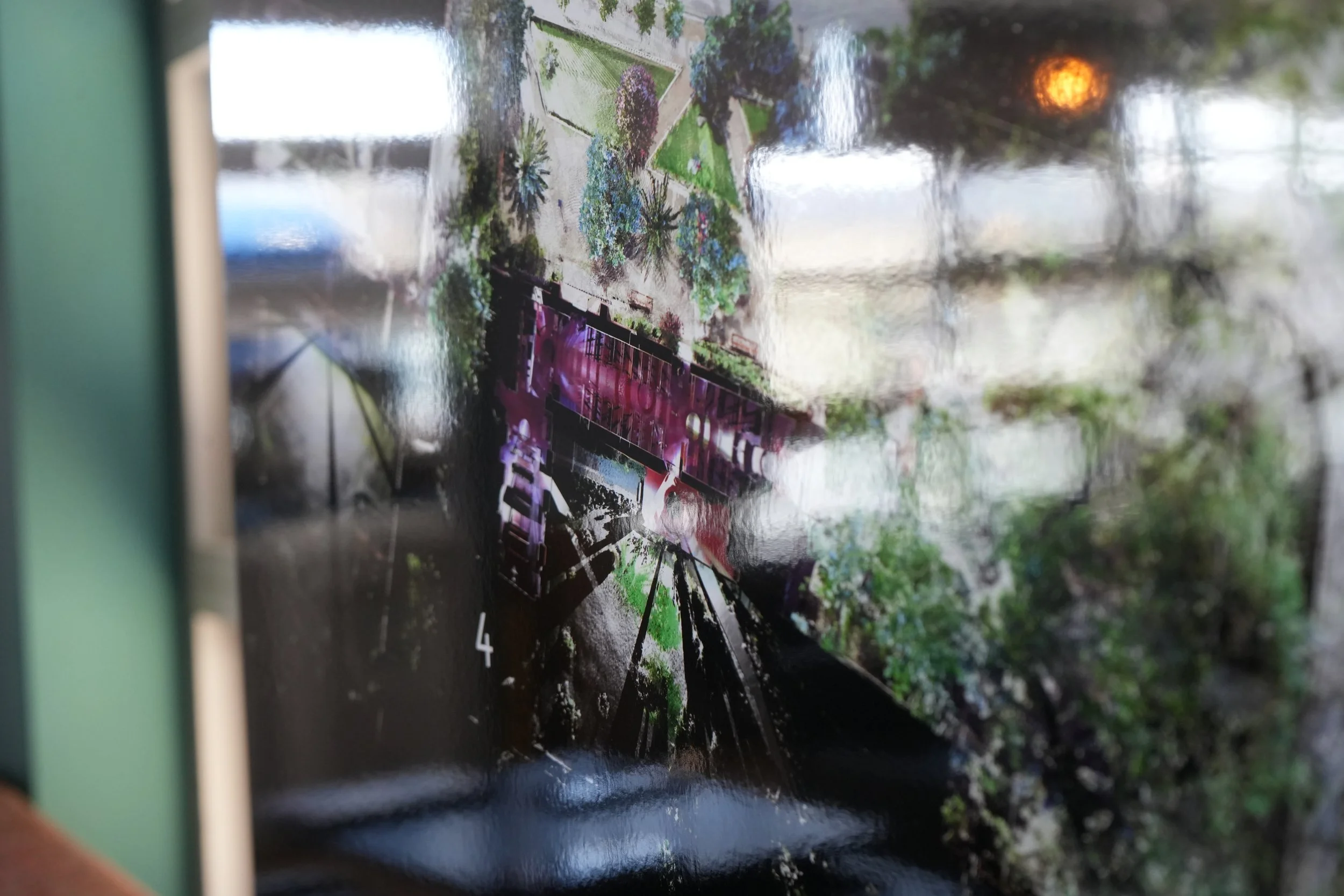
This exhibition explored the visual work underpinning the research published in the book with the same title, including 3D laser scanning, architectural representations, images, videos and 3D printed models of the heritage villages of Tarapacá, Zúñiga, and Lolol in Chile, as captured after, before and during the reconstruction processes carried out in response to the 2005 and 2010 earthquakes.
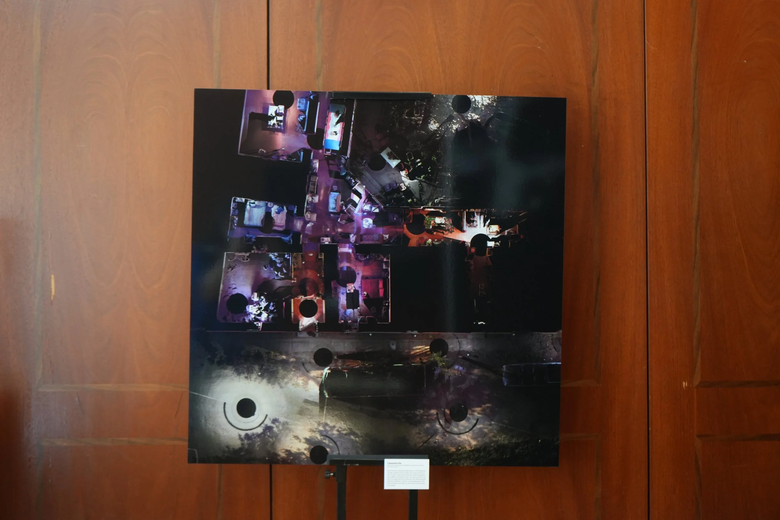
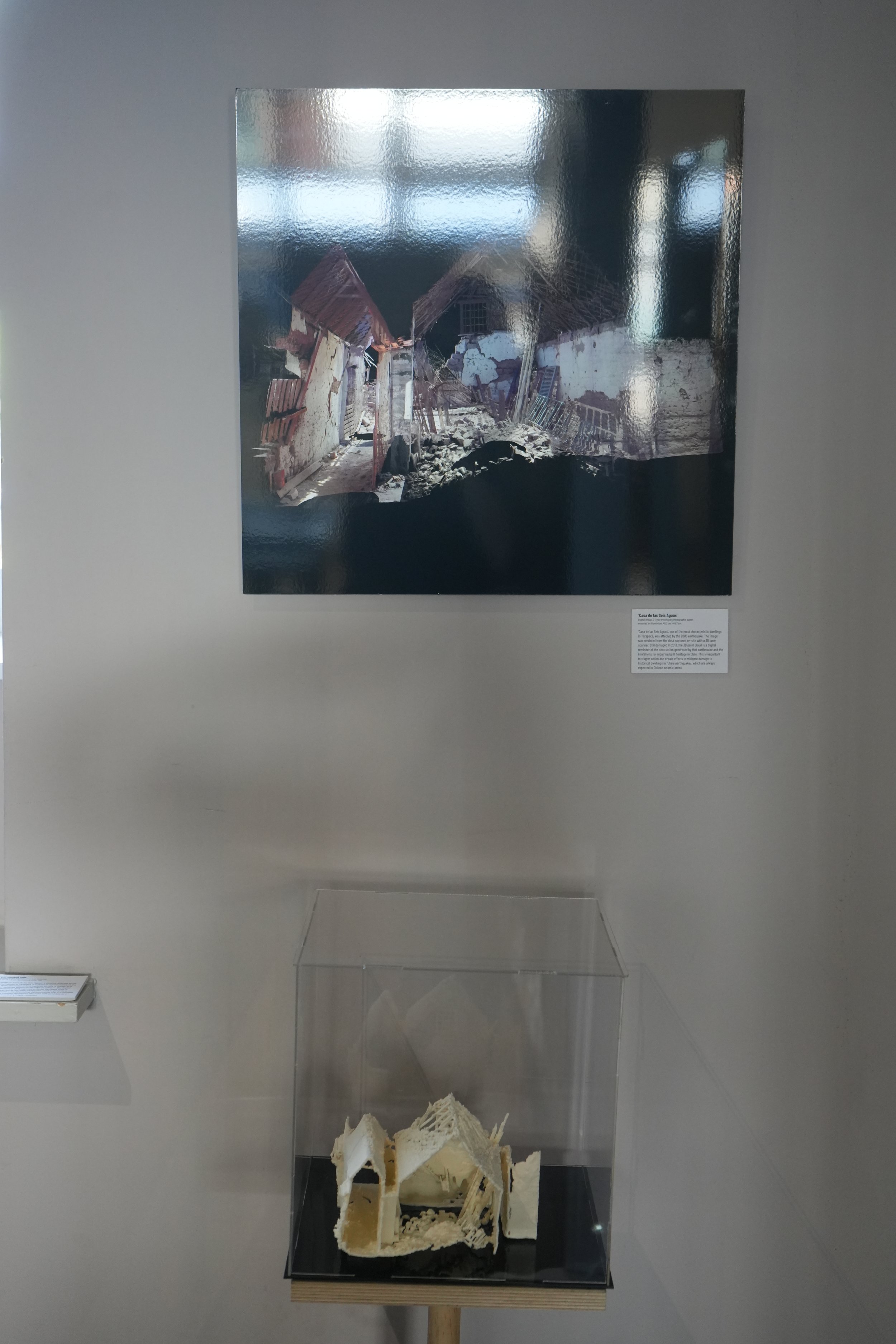
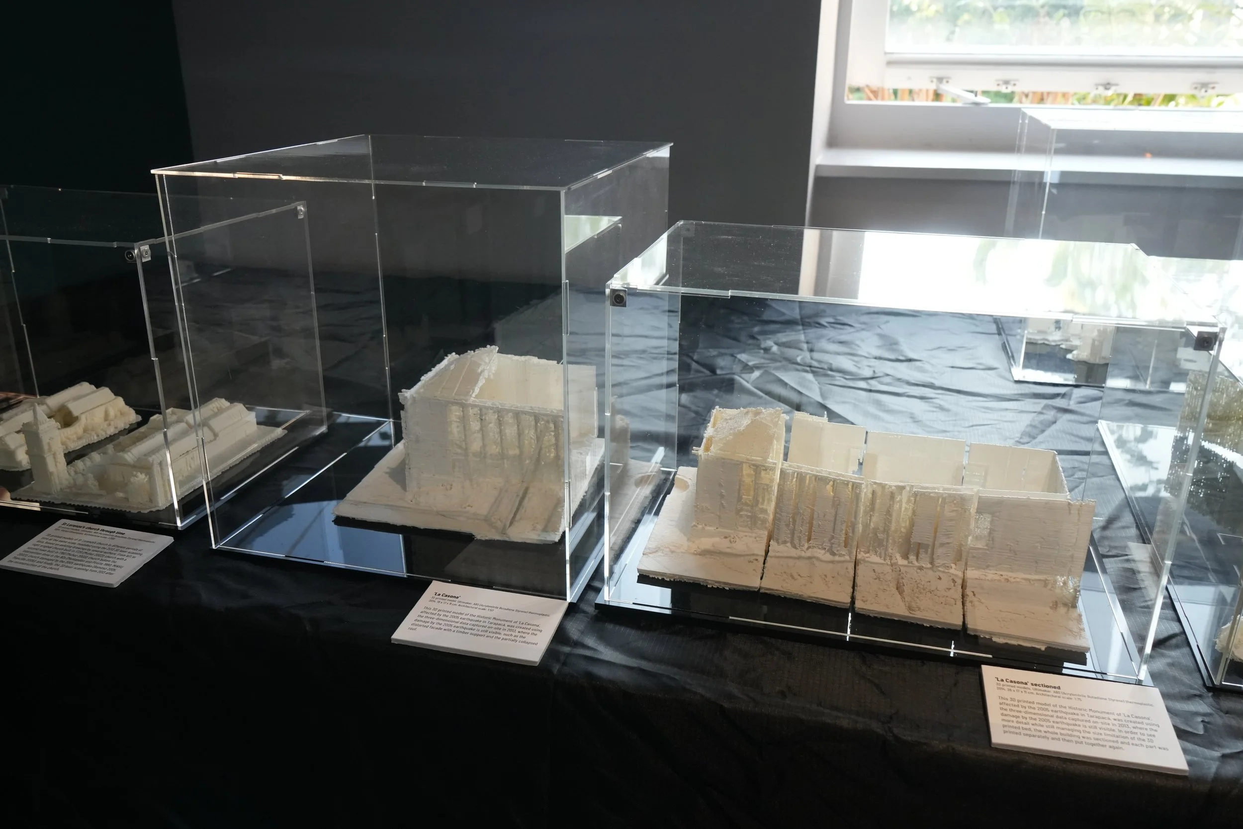
The research proposes re-construction as an alternative methodology, based on 3D laser scanning, photography and questionnaires to the occupants, to analyse the as-built condition of earthquake-affected buildings, consider risk mitigation, and recognise adaptation to earthquakes and subsequent reconstructions. The material exhibited is the visualisation of measurable 3D point clouds of the three heritage areas selected — which have a precision of millimetres — allowing for the creation of a range of technical and visual outputs by dissecting and exploring the captured three-dimensional data. This metric accurate information can facilitate damage assessments to repair and intervene affected heritage buildings, instead of demolishing and building anew, while also providing the visual capabilities to engage with the local community and stakeholders. This will lead to more historical buildings conserved and is relevant not only for seismic-prone areas, but heritage at risk in general.
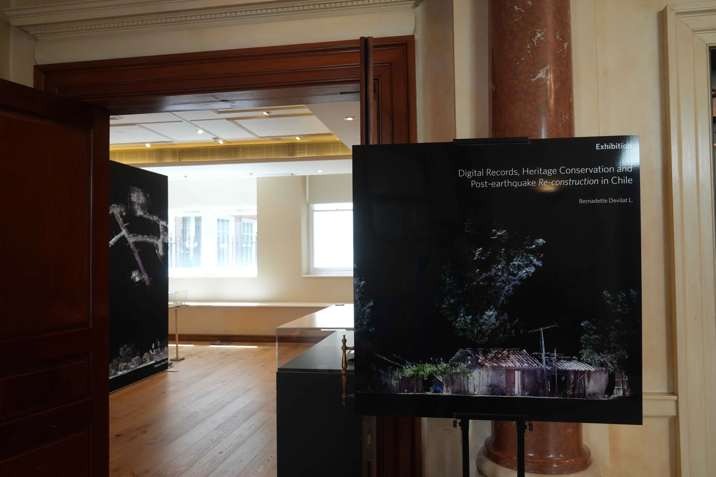
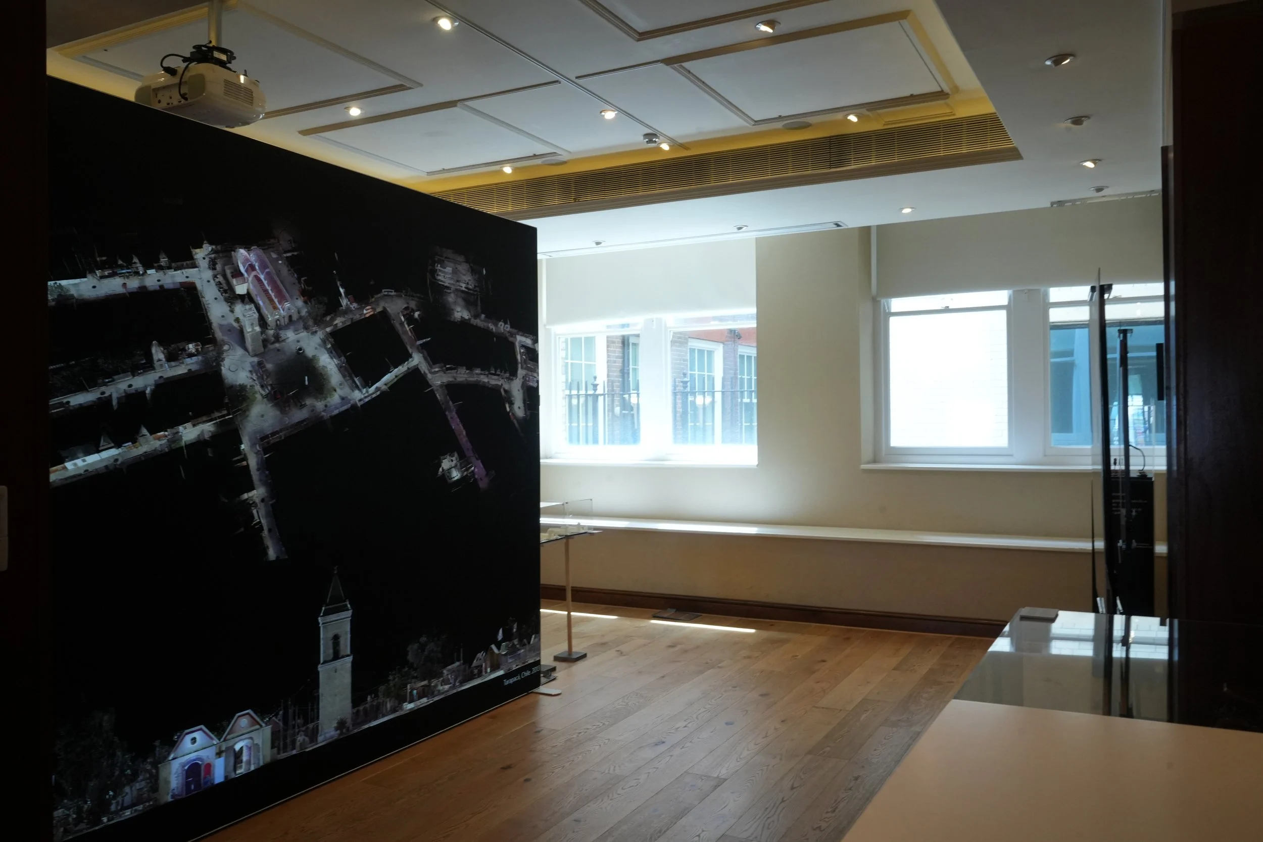
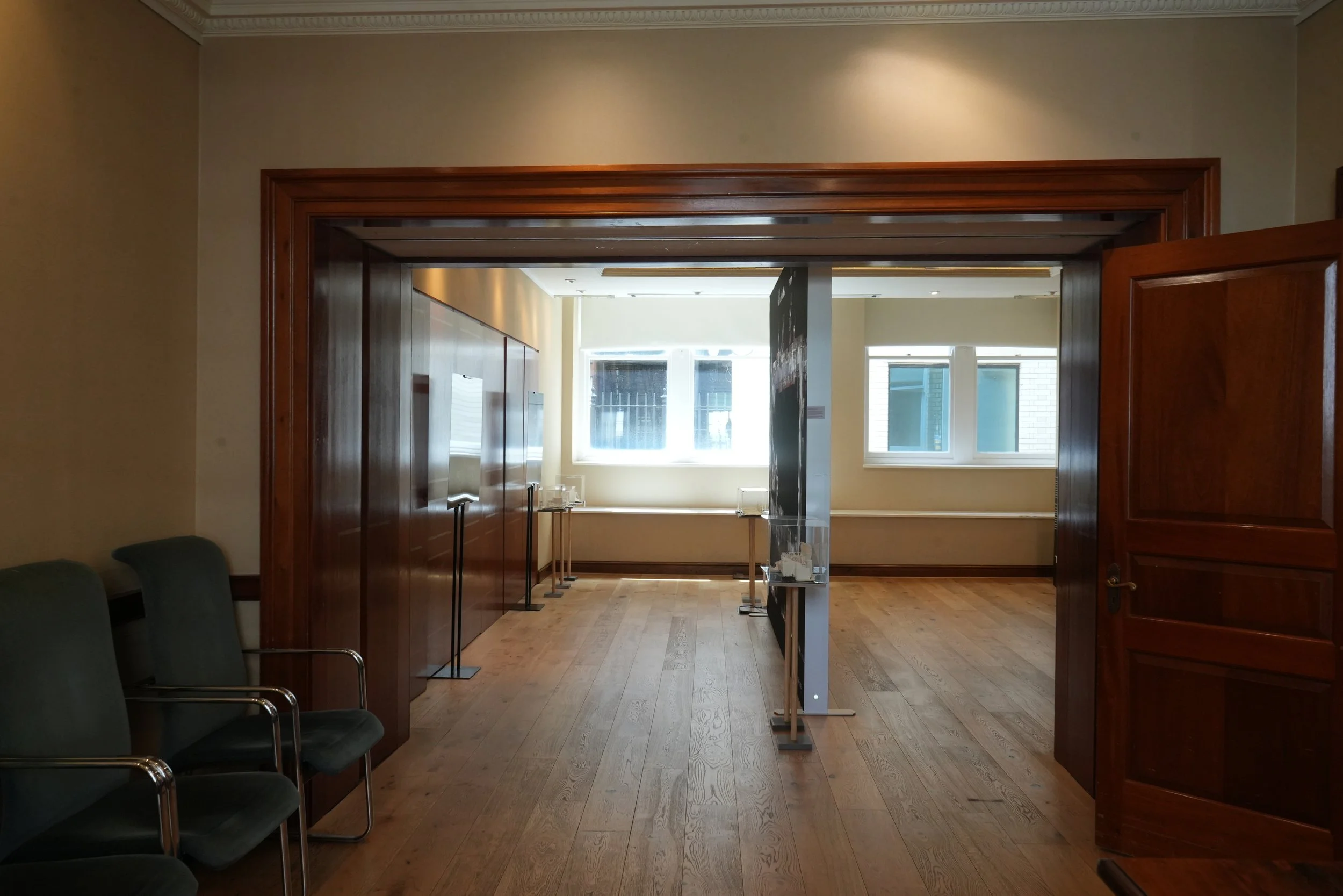
This exhibition was displayed at the Embassy of Chile in London during May and June 2025, and then at the Department of Architecture and Built Environment, University of Nottingham, between June and September 2025.